Mead night lights from space
Night Light of Mead (Washington) from space (United States) Src. Average luminocity for 10x10km area is 39.433% and for 50x50km: 16.8734%.
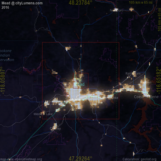
Analysis of Mead night lights 2016
Square area 10x10 km:
 6.85%
6.85%90-99
6.4%80-89
2.53%70-79
6.85%60-69
4.02%50-59
5.36%40-49
9.23%30-39
7.29%20-29
15.63%10-19
17.41%0-9
18.45%Square area 50x50 km:
3.77%90-99
3.21%80-89
1.7%70-79
1.83%60-69
1.59%50-59
2.13%40-49
2.03%30-39
2.82%20-29
4.53%10-19
9.29%0-9
67.11%Clear (daylight) street map image can be seen on geolist.org.
Map coordinates:
48° 14' 16.2" North, 118° 3' 29.1" West
47° 46' 2.6" North, 117° 21' 17.8" West
47° 17' 33.5" North, 116° 39' 6.6" West
Some cities around Mead sort by population:
• Spokane
13.2 km =8.2 mi,  204°
204°
• Spokane Valley
13.6 km =8.5 mi,  140°
140°
• Opportunity
15.6 km =9.7 mi,  146°
146°
• Veradale
17.1 km =10.6 mi, 139°
• Dishman
13.3 km =8.3 mi, 153°
• Liberty Lake
20.4 km =12.7 mi,  119°
119°
• Fairwood
4.7 km =2.9 mi,  269°
269°
• Country Homes
4.3 km =2.7 mi,  240°
240°
5802984 (p: 7,275)
Sources (retrieved 2019-11-25):
» Earth at Night: Flat Maps 2012, 2016