Urbandale night lights from space
Night Light of Urbandale (Iowa) from space (United States) Src. Average luminocity for 10x10km area is 89.5373% and for 50x50km: 26.4648%.
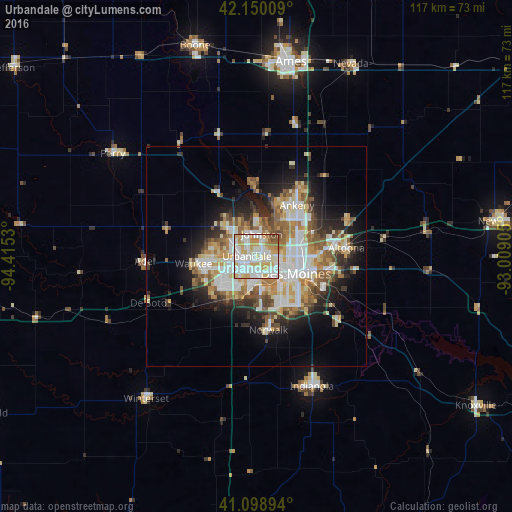
Analysis of Urbandale night lights 2016
Square area 10x10 km:
 30.68%
90-99
32.14%80-89
15.42%70-79
12.01%60-69
5.84%50-59
1.95%40-49
1.95%30-39
0%20-29
0%10-19
0%0-9
0%Square area 50x50 km:
5.59%90-99
5.79%80-89
3.46%70-79
3.54%60-69
3.31%50-59
3.68%40-49
2.97%30-39
2.62%20-29
4.89%10-19
9.03%0-9
55.12%Clear (daylight) street map image can be seen on geolist.org.
Map coordinates:
42° 9' 0.3" North, 94° 24' 55.1" West
41° 37' 36" North, 93° 42' 43.8" West
41° 5' 56.2" North, 93° 0' 32.6" West
Some cities around Urbandale sort by population:
• Des Moines
9 km =5.6 mi,  108°
108°
• West Des Moines
5.5 km =3.4 mi,  179°
179°
• Ankeny
14.5 km =9 mi,  37°
37°
• Johnston
5.3 km =3.3 mi,  13°
13°
• Waukee
14.5 km =9 mi,  263°
263°
• Clive
2.8 km =1.7 mi,  200°
200°
• Grimes
9.5 km =5.9 mi,  316°
316°
• Pleasant Hill
16.7 km =10.4 mi, 106°
4879890 (p: 44,062)
Sources (retrieved 2019-11-25):
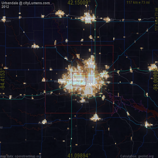
» Earth at Night: Flat Maps 2012, 2016