Tucson night lights from space
Night Light of Tucson (Arizona) from space (United States) Src. Average luminocity for 10x10km area is 97.4371% and for 50x50km: 32.834%.
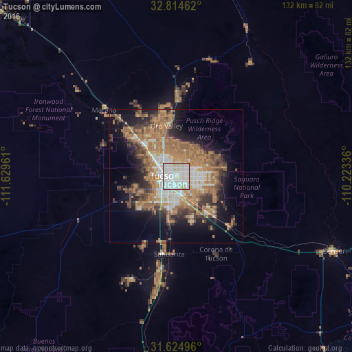
Analysis of Tucson night lights 2016
Square area 10x10 km:
 50.17%
90-99
39.16%80-89
9.27%70-79
1.4%60-69
0%50-59
0%40-49
0%30-39
0%20-29
0%10-19
0%0-9
0%Square area 50x50 km:
5.39%90-99
5.19%80-89
1.88%70-79
5.77%60-69
9.98%50-59
5.56%40-49
4.41%30-39
4.26%20-29
5.12%10-19
10.51%0-9
41.93%Clear (daylight) street map image can be seen on geolist.org.
Map coordinates:
32° 48' 52.6" North, 111° 37' 46.6" West
32° 13' 18.3" North, 110° 55' 35.3" West
31° 37' 29.9" North, 110° 13' 24.1" West
Some cities around Tucson sort by population:
• Casas Adobes
13 km =8.1 mi,  330°
330°
• Catalina Foothills
8.5 km =5.3 mi,  4°
4°
• Oro Valley
19.2 km =11.9 mi,  348°
348°
• Drexel Heights
13.1 km =8.1 mi,  226°
226°
• Tanque Verde
18.1 km =11.2 mi,  79°
79°
• Flowing Wells
11.2 km =7 mi,  315°
315°
• South Tucson
4.7 km =2.9 mi,  237°
237°
• Summit
17.4 km =10.8 mi,  187°
187°
5318313 (p: 531,641)
Sources (retrieved 2019-11-25):
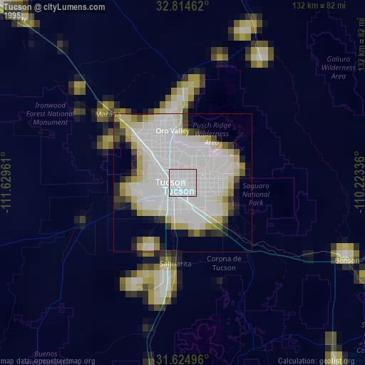
» NASA, Earths city lights 1995
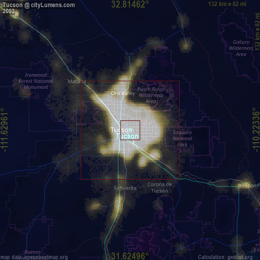
» NASA city lights 2003
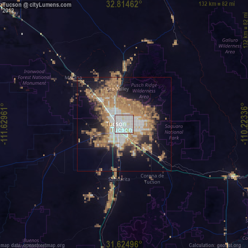
» Earth at Night: Flat Maps 2012, 2016