Oro Valley night lights from space
Night Light of Oro Valley (Arizona) from space (United States) Src. Average luminocity for 10x10km area is 50.3645% and for 50x50km: 25.4166%.
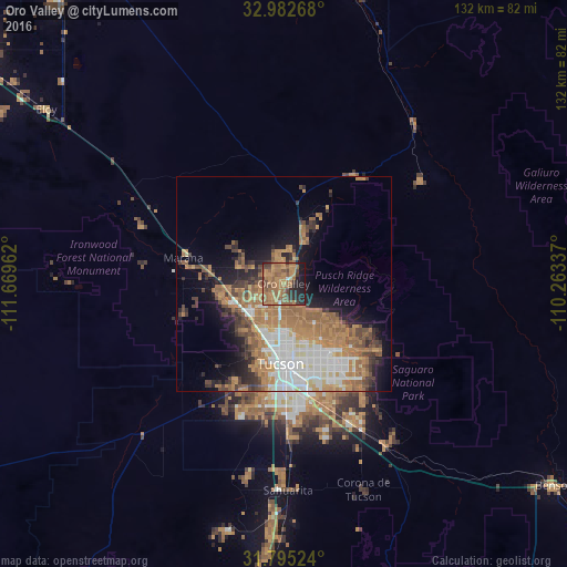
Analysis of Oro Valley night lights 2016
Square area 10x10 km:
 0.73%
0.73%90-99
1.1%80-89
0.37%70-79
12.27%60-69
31.32%50-59
15.2%40-49
8.97%30-39
5.68%20-29
12.27%10-19
12.09%0-9
0%Square area 50x50 km:
4.45%90-99
4.03%80-89
1.42%70-79
4.2%60-69
8.27%50-59
4.29%40-49
3.11%30-39
2.77%20-29
3.62%10-19
7.69%0-9
56.16%Clear (daylight) street map image can be seen on geolist.org.
Map coordinates:
32° 58' 57.6" North, 111° 40' 10.6" West
32° 23' 27.3" North, 110° 57' 59.4" West
31° 47' 42.9" North, 110° 15' 48.1" West
Some cities around Oro Valley sort by population:
• Tucson
19.2 km =11.9 mi,  168°
168°
• Casas Adobes
8 km =5 mi,  199°
199°
• Catalina Foothills
11.3 km =7 mi,  156°
156°
• Marana
24.8 km =15.4 mi,  281°
281°
• Flowing Wells
11.5 km =7.1 mi, 200°
• Saddle Brooke
18.2 km =11.3 mi,  28°
28°
• Catalina
13.4 km =8.3 mi,  18°
18°
• South Tucson
21.3 km =13.2 mi,  180°
180°
5307540 (p: 43,565)
Sources (retrieved 2019-11-25):
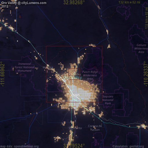
» Earth at Night: Flat Maps 2012, 2016