Trumbull night lights from space
Night Light of Trumbull (Connecticut) from space (United States) Src. Average luminocity for 10x10km area is 62.0406% and for 50x50km: 28.9285%.
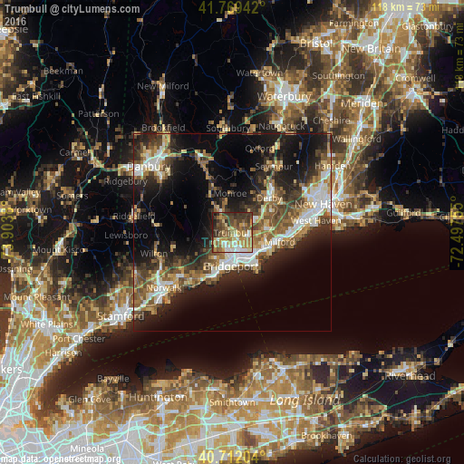
Analysis of Trumbull night lights 2016
Square area 10x10 km:
 7.47%
7.47%90-99
8.77%80-89
11.2%70-79
11.2%60-69
14.77%50-59
13.31%40-49
9.9%30-39
16.07%20-29
5.68%10-19
1.62%0-9
0%Square area 50x50 km:
4.04%90-99
4.44%80-89
3.49%70-79
3.43%60-69
4.52%50-59
5.41%40-49
5.18%30-39
4.93%20-29
8.65%10-19
14.78%0-9
41.13%Clear (daylight) street map image can be seen on geolist.org.
Map coordinates:
41° 46' 9.9" North, 73° 54' 13.7" West
41° 14' 34.3" North, 73° 12' 2.4" West
40° 42' 43.3" North, 72° 29' 51.2" West
Some cities around Trumbull sort by population:
• Bridgeport
7.1 km =4.4 mi,  172°
172°
• Fairfield
12.5 km =7.8 mi,  205°
205°
• Milford
12.3 km =7.6 mi,  100°
100°
• Stratford
8.6 km =5.3 mi,  138°
138°
• City of Milford (balance)
11.8 km =7.3 mi, 100°
• Shelton
12.2 km =7.6 mi,  47°
47°
• Derby
12.7 km =7.9 mi, 47°
• Easton
8.2 km =5.1 mi,  277°
277°
4844459 (p: 36,018)
Sources (retrieved 2019-11-25):
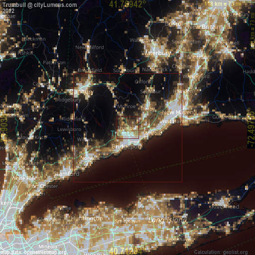
» Earth at Night: Flat Maps 2012, 2016