Tanglewilde-Thompson Place night lights from space
Night Light of Tanglewilde-Thompson Place (Washington) from space (United States) Src. Average luminocity for 10x10km area is 50.7131% and for 50x50km: 15.4282%.
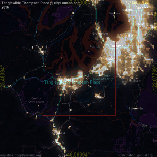
Analysis of Tanglewilde-Thompson Place night lights 2016
Square area 10x10 km:
 8.81%
8.81%90-99
10.23%80-89
4.55%70-79
3.55%60-69
9.23%50-59
10.94%40-49
11.36%30-39
6.82%20-29
13.49%10-19
19.32%0-9
1.7%Square area 50x50 km:
3.75%90-99
2.99%80-89
1.15%70-79
1.44%60-69
2.21%50-59
1.99%40-49
2.06%30-39
1.93%20-29
3.64%10-19
7.25%0-9
71.58%Clear (daylight) street map image can be seen on geolist.org.
Map coordinates:
47° 31' 41.1" North, 123° 29' 2.2" West
47° 3' 4.2" North, 122° 46' 50.9" West
46° 34' 11.8" North, 122° 4' 39.7" West
Some cities around Tanglewilde-Thompson Place sort by population:
• Lakewood
24 km =14.9 mi,  55°
55°
• Olympia
9.2 km =5.7 mi,  260°
260°
• Lacey
3.7 km =2.3 mi,  239°
239°
• Tumwater
10.9 km =6.8 mi, 243°
• Joint Base Lewis McChord
16.7 km =10.4 mi,  67°
67°
• DuPont
12.4 km =7.7 mi, 65°
• Yelm
18 km =11.2 mi,  132°
132°
• Steilacoom
18.9 km =11.7 mi,  45°
45°
7262660 (p: 5,892)
Sources (retrieved 2019-11-25):
» Earth at Night: Flat Maps 2012, 2016