Strathmore night lights from space
Night Light of Strathmore (New Jersey) from space (United States) Src. Average luminocity for 10x10km area is 67.1378% and for 50x50km: 58.0038%.
Analysis of Strathmore night lights 2016
Square area 10x10 km:
 7.65%
7.65%90-99
9.52%80-89
7.65%70-79
11.9%60-69
17.69%50-59
33.5%40-49
9.35%30-39
2.72%20-29
0%10-19
0%0-9
0%Square area 50x50 km:
12.81%90-99
12.08%80-89
7.44%70-79
8.62%60-69
10.4%50-59
10.65%40-49
6.08%30-39
6.26%20-29
8.37%10-19
6.84%0-9
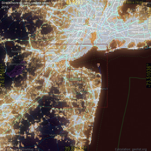
10.44%Clear (daylight) street map image can be seen on geolist.org.
Map coordinates:
40° 55' 45.5" North, 74° 54' 59.8" West
40° 23' 45.4" North, 74° 12' 48.5" West
39° 51' 30" North, 73° 30' 37.3" West
Some cities around Strathmore sort by population:
• Marlboro
9.4 km =5.8 mi,  197°
197°
• Robertsville
8.4 km =5.2 mi,  228°
228°
• Keansburg
8.7 km =5.4 mi,  54°
54°
• Matawan
2.5 km =1.6 mi,  326°
326°
• Keyport
4.3 km =2.7 mi,  15°
15°
• Laurence Harbor
7.3 km =4.5 mi,  337°
337°
• Union Beach
6.4 km =4 mi,  27°
27°
• Morganville
3.4 km =2.1 mi, 230°
5105095 (p: 7,258)
Sources (retrieved 2019-11-25):
» Earth at Night: Flat Maps 2012, 2016