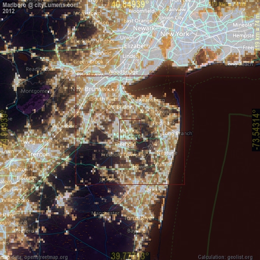
Marlboro night lights from space
Night Light of Marlboro (New Jersey) from space (United States) Src. Average luminocity for 10x10km area is 59.0425% and for 50x50km: 53.9136%.

Analysis of Marlboro night lights 2016
Square area 10x10 km:
 2.04%
2.04%90-99
2.55%80-89
4.59%70-79
8.16%60-69
27.72%50-59
32.14%40-49
16.67%30-39
5.61%20-29
0.51%10-19
0%0-9
0%Square area 50x50 km:
7.73%90-99
9.02%80-89
7.12%70-79
8.87%60-69
12.7%50-59
12.89%40-49
7.57%30-39
7.37%20-29
8.88%10-19
7.75%0-9
10.1%Clear (daylight) street map image can be seen on geolist.org.
Map coordinates:
40° 50' 57.8" North, 74° 56' 57.8" West
40° 18' 55.4" North, 74° 14' 46.5" West
39° 46' 37.7" North, 73° 32' 35.3" West
Some cities around Marlboro sort by population:
• West Freehold
9.4 km =5.8 mi,  209°
209°
• Freehold
6.6 km =4.1 mi,  200°
200°
• Robertsville
4.9 km =3 mi,  314°
314°
• Matawan
11.1 km =6.9 mi,  7°
7°
• Strathmore
9.4 km =5.8 mi,  17°
17°
• Yorketown
7.8 km =4.8 mi,  263°
263°
• Lincroft
10.8 km =6.7 mi,  80°
80°
• Morganville
6.8 km =4.2 mi,  1°
1°
5100886 (p: 40,191)
Sources (retrieved 2019-11-25):
» Earth at Night: Flat Maps 2012, 2016