Southaven night lights from space
Night Light of Southaven (Mississippi) from space (United States) Src. Average luminocity for 10x10km area is 91.4231% and for 50x50km: 53.0819%.
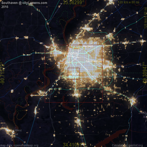
Analysis of Southaven night lights 2016
Square area 10x10 km:
 34.62%
90-99
30.77%80-89
15.38%70-79
15.73%60-69
3.15%50-59
0.17%40-49
0.17%30-39
0%20-29
0%10-19
0%0-9
0%Square area 50x50 km:
18.64%90-99
12.28%80-89
7.3%70-79
6.16%60-69
5.29%50-59
4.41%40-49
3.75%30-39
4.08%20-29
4.71%10-19
7.28%0-9
26.12%Clear (daylight) street map image can be seen on geolist.org.
Map coordinates:
35° 33' 46.8" North, 90° 42' 56.6" West
34° 59' 20.3" North, 90° 0' 45.3" West
34° 24' 39.3" North, 89° 18' 34.1" West
Some cities around Southaven sort by population:
• Memphis
18.2 km =11.3 mi,  349°
349°
• New South Memphis
11.6 km =7.2 mi,  339°
339°
• Bartlett
27.1 km =16.8 mi,  27°
27°
• Germantown
21.4 km =13.3 mi,  59°
59°
• Olive Branch
17 km =10.6 mi,  100°
100°
• Horn Lake
4.3 km =2.7 mi,  208°
208°
• West Memphis
23.5 km =14.6 mi,  318°
318°
• Hernando
18.4 km =11.4 mi,  174°
174°
4446675 (p: 52,589)
Sources (retrieved 2019-11-25):
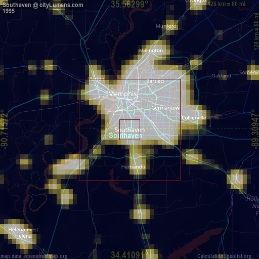
» NASA, Earths city lights 1995
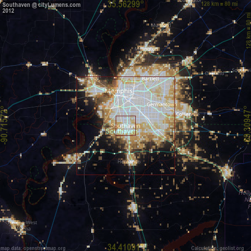
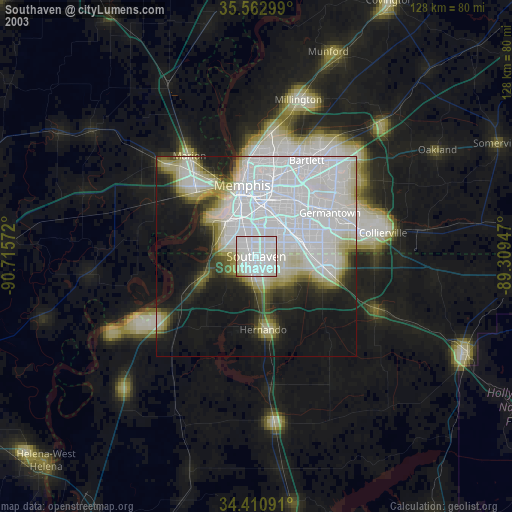
» NASA city lights 2003
» Earth at Night: Flat Maps 2012, 2016