South Riding night lights from space
Night Light of South Riding (Virginia) from space (United States) Src. Average luminocity for 10x10km area is 73.8078% and for 50x50km: 47.16%.
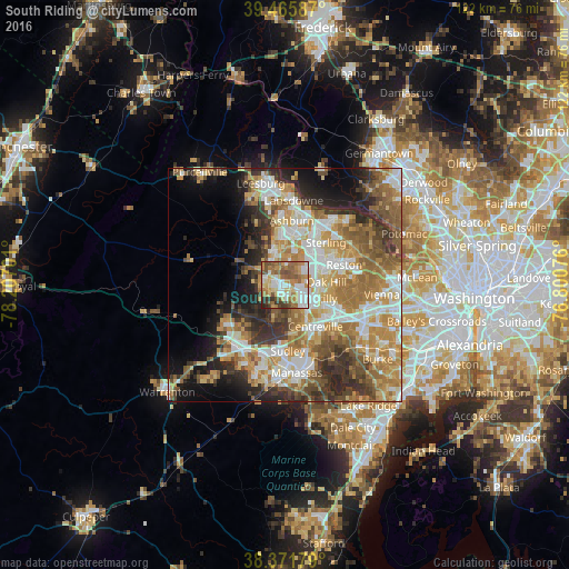
Analysis of South Riding night lights 2016
Square area 10x10 km:
 15.99%
90-99
16.16%80-89
11.05%70-79
12.59%60-69
16.67%50-59
14.63%40-49
5.27%30-39
5.1%20-29
2.55%10-19
0%0-9
0%Square area 50x50 km:
8.08%90-99
9.19%80-89
6.1%70-79
8.8%60-69
9.66%50-59
7.49%40-49
5.45%30-39
6.44%20-29
7.82%10-19
8.28%0-9
22.69%Clear (daylight) street map image can be seen on geolist.org.
Map coordinates:
39° 27' 57.1" North, 78° 12' 25.2" West
38° 55' 15.4" North, 77° 30' 14" West
38° 22' 18.4" North, 76° 48' 2.7" West
Some cities around South Riding sort by population:
• Centreville
11.1 km =6.9 mi,  144°
144°
• Oak Hill
8.9 km =5.5 mi,  86°
86°
• Sterling
11.5 km =7.1 mi,  34°
34°
• Chantilly
7 km =4.3 mi,  115°
115°
• Broadlands
10.9 km =6.8 mi,  352°
352°
• Brambleton
7.4 km =4.6 mi,  336°
336°
• Floris
8.1 km =5 mi,  77°
77°
• Greenbriar
10.4 km =6.5 mi, 120°
4786667 (p: 24,256)
Sources (retrieved 2019-11-25):
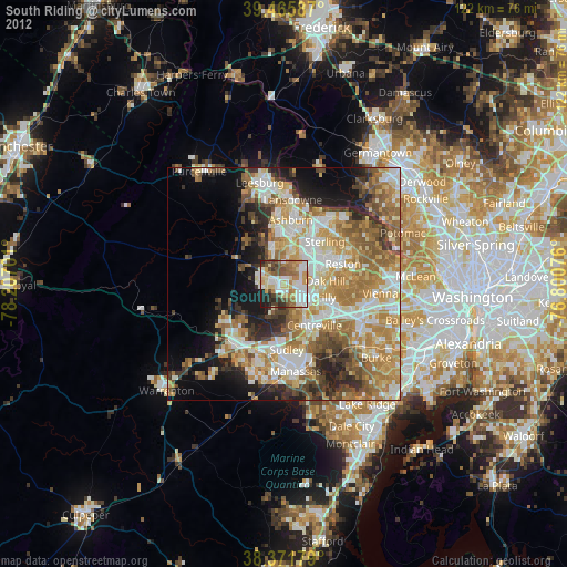
» Earth at Night: Flat Maps 2012, 2016