South Lake Tahoe night lights from space
Night Light of South Lake Tahoe (California) from space (United States) Src. Average luminocity for 10x10km area is 20.8452% and for 50x50km: 3.5949%.
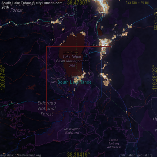
Analysis of South Lake Tahoe night lights 2016
Square area 10x10 km:
 0.34%
0.34%90-99
1.02%80-89
0.85%70-79
6.12%60-69
3.06%50-59
7.48%40-49
5.61%30-39
2.55%20-29
2.72%10-19
8.5%0-9
61.73%Square area 50x50 km:
0.16%90-99
0.21%80-89
0.15%70-79
0.99%60-69
0.44%50-59
1.02%40-49
0.58%30-39
0.56%20-29
0.53%10-19
2.87%0-9
92.49%Clear (daylight) street map image can be seen on geolist.org.
Map coordinates:
39° 28' 41.1" North, 120° 41' 14.9" West
38° 55' 59.7" North, 119° 59' 3.7" West
38° 23' 3.1" North, 119° 16' 52.4" West
Some cities around South Lake Tahoe sort by population:
• Carson City
31.8 km =19.8 mi,  36°
36°
• Truckee
47.1 km =29.3 mi,  338°
338°
• Gardnerville Ranchos
21.6 km =13.4 mi,  103°
103°
• Dayton
47.8 km =29.7 mi, 44°
• Incline Village
35.4 km =22 mi,  1°
1°
• Johnson Lane
26 km =16.2 mi,  60°
60°
• Gardnerville
20.3 km =12.6 mi,  87°
87°
• Indian Hills
24.2 km =15 mi,  45°
45°
5397664 (p: 21,706)
Sources (retrieved 2019-11-25):
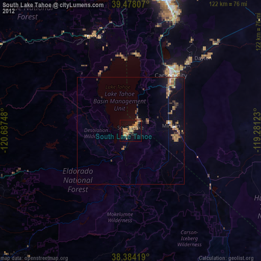
» Earth at Night: Flat Maps 2012, 2016