Somerset night lights from space
Night Light of Somerset (New Jersey) from space (United States) Src. Average luminocity for 10x10km area is 82.5051% and for 50x50km: 61.0868%.
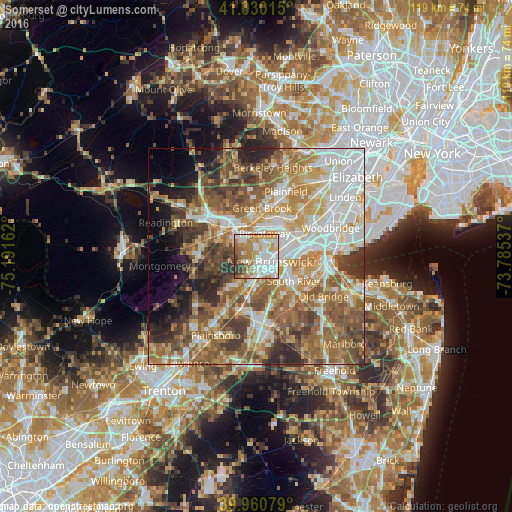
Analysis of Somerset night lights 2016
Square area 10x10 km:
 27.38%
90-99
23.13%80-89
8.67%70-79
15.99%60-69
11.05%50-59
6.46%40-49
2.72%30-39
4.59%20-29
0%10-19
0%0-9
0%Square area 50x50 km:
13.06%90-99
12.26%80-89
7.95%70-79
9.51%60-69
11.61%50-59
12.19%40-49
7.95%30-39
6.7%20-29
5.87%10-19
4.96%0-9
7.95%Clear (daylight) street map image can be seen on geolist.org.
Map coordinates:
41° 1' 48.5" North, 75° 11' 29.8" West
40° 29' 51.4" North, 74° 29' 18.6" West
39° 57' 38.8" North, 73° 47' 7.3" West
Some cities around Somerset sort by population:
• Edison
6.9 km =4.3 mi,  70°
70°
• New Brunswick
3.3 km =2.1 mi,  112°
112°
• Piscataway
7.6 km =4.7 mi,  88°
88°
• Voorhees
1.9 km =1.2 mi,  166°
166°
• Highland Park
5.4 km =3.4 mi, 91°
• Franklin Park
7.6 km =4.7 mi,  211°
211°
• East Franklin
1.5 km =0.9 mi, 108°
• Milltown
6 km =3.7 mi,  140°
140°
5104755 (p: 22,083)
Sources (retrieved 2019-11-25):
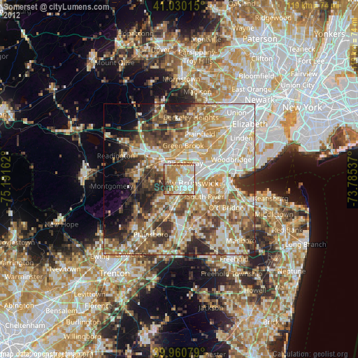
» Earth at Night: Flat Maps 2012, 2016