Scranton night lights from space
Night Light of Scranton (Pennsylvania) from space (United States) Src. Average luminocity for 10x10km area is 72.2347% and for 50x50km: 17.5585%.
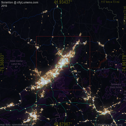

Analysis of Scranton night lights 2016
Square area 10x10 km:
 20.58%
90-99
23.47%80-89
7.48%70-79
8.16%60-69
8.5%50-59
5.1%40-49
5.95%30-39
6.97%20-29
10.54%10-19
3.23%0-9
0%Square area 50x50 km:
2.67%90-99
2.84%80-89
2%70-79
2.28%60-69
2.73%50-59
2.92%40-49
2.32%30-39
2.8%20-29
5.6%10-19
7.89%0-9
65.93%Clear (daylight) street map image can be seen on geolist.org.
Map coordinates:
41° 56' 3.7" North, 76° 22' 4.9" West
41° 24' 33" North, 75° 39' 53.6" West
40° 52' 46.8" North, 74° 57' 42.4" West
Some cities around Scranton sort by population:
• Dunmore
3 km =1.9 mi,  66°
66°
• Old Forge
7.2 km =4.5 mi,  234°
234°
• Pittston
13.9 km =8.6 mi, 228°
• Blakely
9.9 km =6.2 mi,  36°
36°
• Taylor
3.8 km =2.4 mi,  245°
245°
• Dickson City
8.4 km =5.2 mi,  34°
34°
• Moosic
8.7 km =5.4 mi,  224°
224°
• Olyphant
8.4 km =5.2 mi, 38°
5211303 (p: 77,118)
Sources (retrieved 2019-11-25):
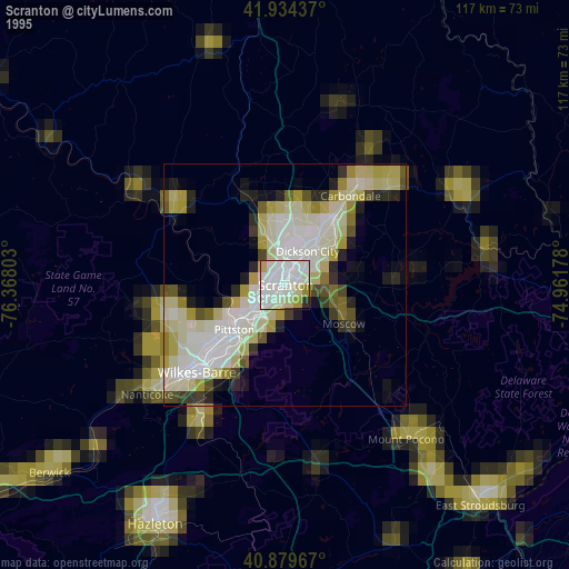
» NASA, Earths city lights 1995
» NASA city lights 2003
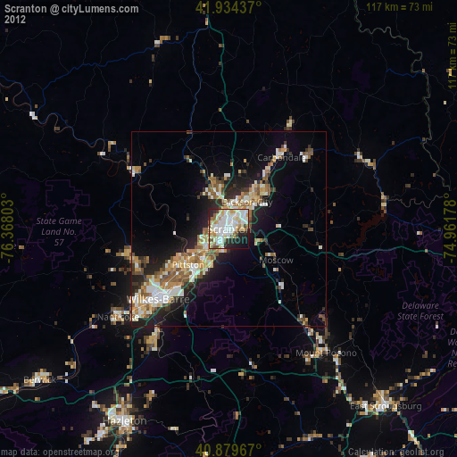
» Earth at Night: Flat Maps 2012, 2016