Gulf Gate Estates night lights from space
Night Light of Gulf Gate Estates (Florida) from space (United States) Src. Average luminocity for 10x10km area is 66.6818% and for 50x50km: 27.2091%.
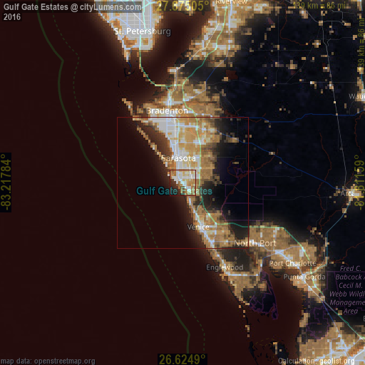
Analysis of Gulf Gate Estates night lights 2016
Square area 10x10 km:
 13.64%
90-99
17.42%80-89
10.04%70-79
8.33%60-69
18.37%50-59
6.63%40-49
3.6%30-39
1.7%20-29
11.17%10-19
7.58%0-9
1.52%Square area 50x50 km:
4.25%90-99
4.77%80-89
3.07%70-79
5.14%60-69
7.73%50-59
3.07%40-49
2.31%30-39
2.94%20-29
6%10-19
8.64%0-9
52.09%Clear (daylight) street map image can be seen on geolist.org.
Map coordinates:
27° 52' 30.2" North, 83° 13' 4.2" West
27° 15' 6.2" North, 82° 30' 53" West
26° 37' 29.6" North, 81° 48' 41.7" West
Some cities around Gulf Gate Estates sort by population:
• Sarasota
9.5 km =5.9 mi,  350°
350°
• Sarasota Springs
7.2 km =4.5 mi,  28°
28°
• Fruitville
10.4 km =6.5 mi, 33°
• Bee Ridge
4.9 km =3 mi,  43°
43°
• Southgate
6.3 km =3.9 mi,  4°
4°
• Siesta Key
3.5 km =2.2 mi,  300°
300°
• Osprey
6.6 km =4.1 mi,  158°
158°
• South Gate Ridge
4.2 km =2.6 mi,  24°
24°
4157657 (p: 10,911)
Sources (retrieved 2019-11-25):
» Earth at Night: Flat Maps 2012, 2016