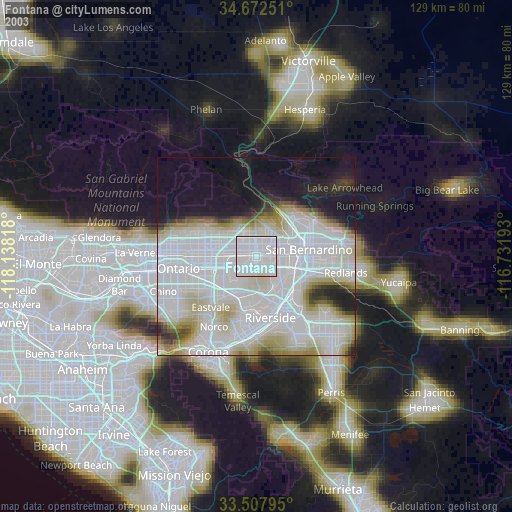
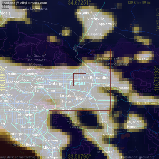
Fontana night lights from space
Night Light of Fontana (California) from space (United States) Src. Average luminocity for 10x10km area is 93.5659% and for 50x50km: 58.9993%.


Analysis of Fontana night lights 2016
Square area 10x10 km:
 31.5%
31.5%90-99
35.71%80-89
27.11%70-79
5.13%60-69
0.55%50-59
0%40-49
0%30-39
0%20-29
0%10-19
0%0-9
0%Square area 50x50 km:
15.65%90-99
14.85%80-89
6.94%70-79
9.17%60-69
13.23%50-59
5.56%40-49
4.09%30-39
2.33%20-29
3.77%10-19
5.05%0-9
19.35%Clear (daylight) street map image can be seen on geolist.org.
Map coordinates:
34° 40' 21" North, 118° 8' 17.4" West
34° 5' 32" North, 117° 26' 6.2" West
33° 30' 28.6" North, 116° 43' 54.9" West
Some cities around Fontana sort by population:
• Rialto
6.2 km =3.9 mi,  75°
75°
• Colton
11.4 km =7.1 mi,  100°
100°
• Rubidoux
11 km =6.8 mi,  165°
165°
• Bloomington
4.4 km =2.7 mi,  124°
124°
• Glen Avon
10.1 km =6.3 mi,  207°
207°
• Grand Terrace
12.9 km =8 mi, 120°
• Muscoy
10.8 km =6.7 mi,  50°
50°
• Sunnyslope
8.9 km =5.5 mi,  179°
179°
5349755 (p: 207,460)
Sources (retrieved 2019-11-25):
» NASA, Earths city lights 1995
» NASA city lights 2003
» Earth at Night: Flat Maps 2012, 2016