Reston night lights from space
Night Light of Reston (Virginia) from space (United States) Src. Average luminocity for 10x10km area is 75.151% and for 50x50km: 66.1315%.
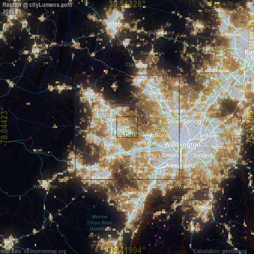
Analysis of Reston night lights 2016
Square area 10x10 km:
 12.01%
90-99
14.12%80-89
8.77%70-79
24.03%60-69
18.02%50-59
21.1%40-49
1.95%30-39
0%20-29
0%10-19
0%0-9
0%Square area 50x50 km:
16.47%90-99
15.94%80-89
9.14%70-79
11.98%60-69
11.62%50-59
7.26%40-49
4.35%30-39
4.98%20-29
5.65%10-19
5.63%0-9
6.98%Clear (daylight) street map image can be seen on geolist.org.
Map coordinates:
39° 30' 47.8" North, 78° 2' 39.2" West
38° 58' 7.4" North, 77° 20' 28" West
38° 25' 11.8" North, 76° 38' 16.7" West
Some cities around Reston sort by population:
• Oak Hill
7.1 km =4.4 mi,  227°
227°
• Sterling
8.6 km =5.3 mi,  298°
298°
• Herndon
3.9 km =2.4 mi,  271°
271°
• Wolf Trap
5.7 km =3.5 mi,  124°
124°
• Great Falls
5.6 km =3.5 mi,  54°
54°
• Dranesville
3.6 km =2.2 mi,  353°
353°
• Sugarland Run
8.2 km =5.1 mi,  338°
338°
• Floris
7.1 km =4.4 mi,  240°
240°
4781530 (p: 58,404)
Sources (retrieved 2019-11-25):
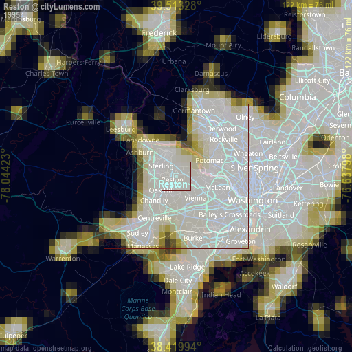
» NASA, Earths city lights 1995
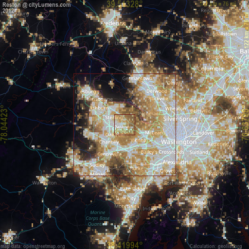
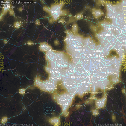
» NASA city lights 2003
» Earth at Night: Flat Maps 2012, 2016