Herndon night lights from space
Night Light of Herndon (Virginia) from space (United States) Src. Average luminocity for 10x10km area is 87.3685% and for 50x50km: 61.1319%.
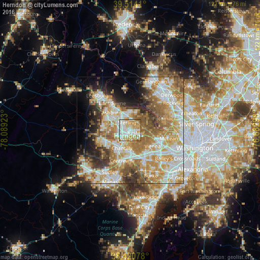
Analysis of Herndon night lights 2016
Square area 10x10 km:
 24.68%
90-99
29.38%80-89
13.15%70-79
20.78%60-69
10.06%50-59
1.95%40-49
0%30-39
0%20-29
0%10-19
0%0-9
0%Square area 50x50 km:
13.9%90-99
14.03%80-89
8.32%70-79
11.96%60-69
11.22%50-59
7.2%40-49
4.52%30-39
5.19%20-29
6.12%10-19
6.08%0-9
11.47%Clear (daylight) street map image can be seen on geolist.org.
Map coordinates:
39° 30' 50.8" North, 78° 5' 21.2" West
38° 58' 10.4" North, 77° 23' 10" West
38° 25' 14.8" North, 76° 40' 58.7" West
Some cities around Herndon sort by population:
• Reston
3.9 km =2.4 mi,  91°
91°
• Oak Hill
5 km =3.1 mi,  195°
195°
• Sterling
5.5 km =3.4 mi,  317°
317°
• Great Falls
9 km =5.6 mi,  69°
69°
• Dranesville
4.9 km =3 mi,  45°
45°
• Sugarland Run
7.6 km =4.7 mi,  7°
7°
• Countryside
8.3 km =5.2 mi,  343°
343°
• Floris
4.3 km =2.7 mi,  212°
212°
4763793 (p: 24,568)
Sources (retrieved 2019-11-25):
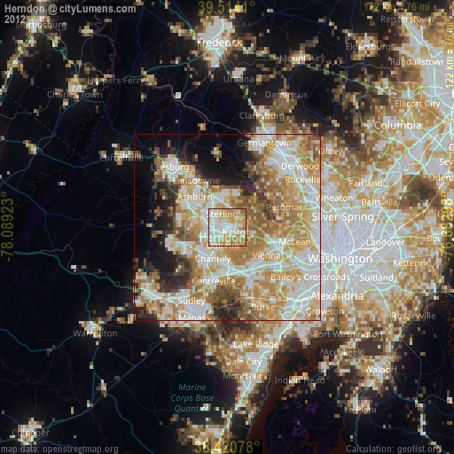
» Earth at Night: Flat Maps 2012, 2016