Newburgh night lights from space
Night Light of Newburgh (New York) from space (United States) Src. Average luminocity for 10x10km area is 60.7568% and for 50x50km: 21.0914%.
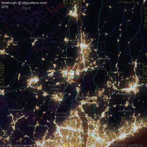
Analysis of Newburgh night lights 2016
Square area 10x10 km:
 9.86%
9.86%90-99
13.44%80-89
11.22%70-79
5.95%60-69
9.86%50-59
11.73%40-49
8.33%30-39
8.84%20-29
14.12%10-19
6.63%0-9
0%Square area 50x50 km:
1.82%90-99
2.22%80-89
2.81%70-79
2.75%60-69
2.92%50-59
3.11%40-49
3.91%30-39
4.89%20-29
7.08%10-19
17.72%0-9
50.77%Clear (daylight) street map image can be seen on geolist.org.
Map coordinates:
42° 1' 40.3" North, 74° 42' 48.8" West
41° 30' 12.3" North, 74° 0' 37.5" West
40° 58' 29" North, 73° 18' 26.3" West
Some cities around Newburgh sort by population:
• Beacon
3.4 km =2.1 mi,  87°
87°
• New Windsor
3.2 km =2 mi,  200°
200°
• Orange Lake
8.4 km =5.2 mi,  298°
298°
• Walden
16.2 km =10.1 mi,  293°
293°
• Myers Corner
16.2 km =10.1 mi,  45°
45°
• West Point
13.2 km =8.2 mi,  159°
159°
• Washingtonville
15.4 km =9.6 mi,  237°
237°
• Wappingers Falls
13.2 km =8.2 mi,  38°
38°
5128654 (p: 28,290)
Sources (retrieved 2019-11-25):
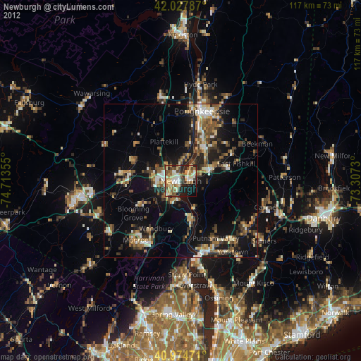
» Earth at Night: Flat Maps 2012, 2016