Pahrump night lights from space
Night Light of Pahrump (Nevada) from space (United States) Src. Average luminocity for 10x10km area is 29.5944% and for 50x50km: 2.3364%.
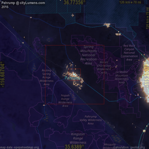

Analysis of Pahrump night lights 2016
Square area 10x10 km:
 1.4%
1.4%90-99
1.4%80-89
0%70-79
1.4%60-69
10.49%50-59
8.92%40-49
9.62%30-39
8.22%20-29
7.34%10-19
30.59%0-9
20.63%Square area 50x50 km:
0.06%90-99
0.06%80-89
0%70-79
0.06%60-69
0.6%50-59
0.54%40-49
0.95%30-39
1%20-29
0.64%10-19
2.05%0-9
94.04%Clear (daylight) street map image can be seen on geolist.org.
Map coordinates:
36° 46' 24.8" North, 116° 41' 13.3" West
36° 12' 29.8" North, 115° 59' 2.1" West
35° 38' 20" North, 115° 16' 50.8" West
Some cities around Pahrump sort by population:
• Las Vegas
76.1 km =47.3 mi,  92°
92°
• North Las Vegas
77.7 km =48.3 mi, 90°
• Paradise
76.2 km =47.3 mi,  99°
99°
• Sunrise Manor
81.7 km =50.8 mi, 89°
• Spring Valley
67.3 km =41.8 mi, 99°
• Enterprise
69.7 km =43.3 mi,  106°
106°
• Winchester
78.1 km =48.5 mi, 96°
• Summerlin South
59.6 km =37 mi, 99°
5509851 (p: 36,441)
Sources (retrieved 2019-11-25):
» Earth at Night: Flat Maps 2012, 2016