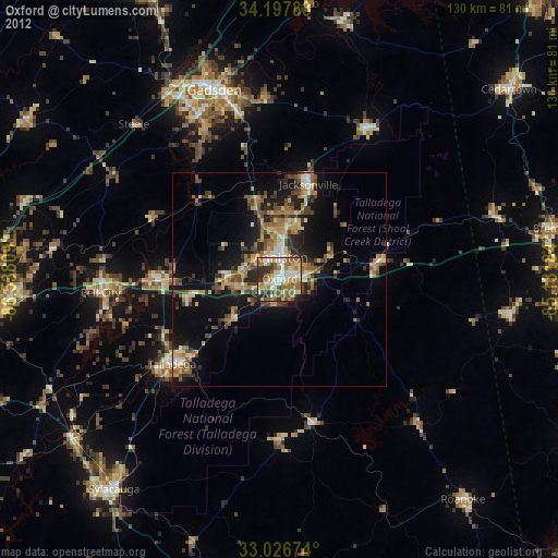
Oxford night lights from space
Night Light of Oxford (Alabama) from space (United States) Src. Average luminocity for 10x10km area is 69.3187% and for 50x50km: 16.2447%.
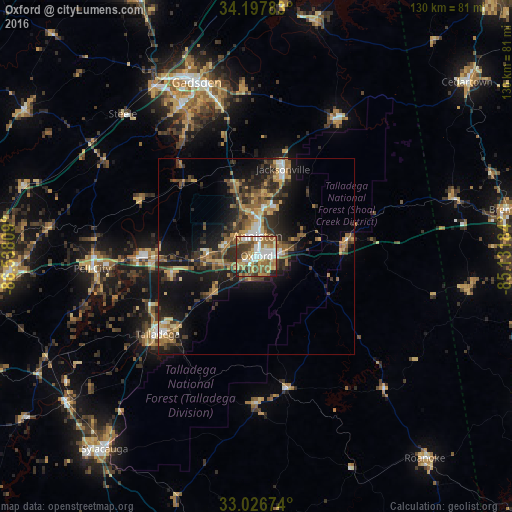
Analysis of Oxford night lights 2016
Square area 10x10 km:
 12.82%
90-99
13.55%80-89
11.54%70-79
10.81%60-69
18.68%50-59
11.17%40-49
8.42%30-39
7.14%20-29
5.68%10-19
0.18%0-9
0%Square area 50x50 km:
1.27%90-99
1.41%80-89
2.32%70-79
2.67%60-69
2.88%50-59
2.62%40-49
3.07%30-39
3.93%20-29
4.57%10-19
11.19%0-9
64.05%Clear (daylight) street map image can be seen on geolist.org.
Map coordinates:
34° 11' 52.2" North, 86° 32' 17.1" West
33° 36' 51.4" North, 85° 50' 5.9" West
33° 1' 36.3" North, 85° 7' 54.6" West
Some cities around Oxford sort by population:
• Anniston
5.1 km =3.2 mi,  3°
3°
• Talladega
32 km =19.9 mi,  231°
231°
• Pell City
41.9 km =26 mi,  265°
265°
• Jacksonville
23.2 km =14.4 mi,  17°
17°
• Saks
9.4 km =5.8 mi,  357°
357°
• Southside
38.6 km =24 mi,  333°
333°
• Lincoln
26.2 km =16.3 mi, 269°
• Glencoe
39.2 km =24.4 mi,  346°
346°
4081914 (p: 21,249)
Sources (retrieved 2019-11-25):
» Earth at Night: Flat Maps 2012, 2016