Oakdale night lights from space
Night Light of Oakdale (California) from space (United States) Src. Average luminocity for 10x10km area is 29.9456% and for 50x50km: 15.0109%.
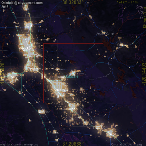
Analysis of Oakdale night lights 2016
Square area 10x10 km:
 4.59%
4.59%90-99
4.08%80-89
1.02%70-79
5.78%60-69
4.76%50-59
3.4%40-49
4.59%30-39
2.55%20-29
5.44%10-19
43.37%0-9
20.41%Square area 50x50 km:
2.04%90-99
2.48%80-89
1.28%70-79
2.31%60-69
2.05%50-59
1.96%40-49
2.82%30-39
3.62%20-29
4.2%10-19
8.06%0-9
69.17%Clear (daylight) street map image can be seen on geolist.org.
Map coordinates:
38° 19' 13.2" North, 121° 33' 1" West
37° 45' 59.7" North, 120° 50' 49.7" West
37° 12' 31.2" North, 120° 8' 38.5" West
Some cities around Oakdale sort by population:
• Modesto
19.4 km =12.1 mi,  222°
222°
• Ceres
21.4 km =13.3 mi,  207°
207°
• Riverbank
8.5 km =5.3 mi,  246°
246°
• Salida
22 km =13.7 mi, 252°
• Waterford
15.9 km =9.9 mi,  151°
151°
• Escalon
13.7 km =8.5 mi,  284°
284°
• Hughson
18.9 km =11.7 mi,  185°
185°
• Bret Harte
23 km =14.3 mi, 217°
5378500 (p: 22,259)
Sources (retrieved 2019-11-25):
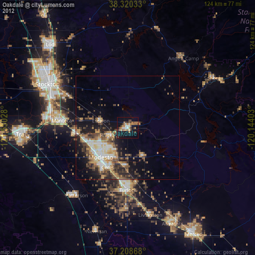
» Earth at Night: Flat Maps 2012, 2016