New Orleans night lights from space
Night Light of New Orleans (Louisiana) from space (United States) Src. Average luminocity for 10x10km area is 99.8182% and for 50x50km: 38.9074%.
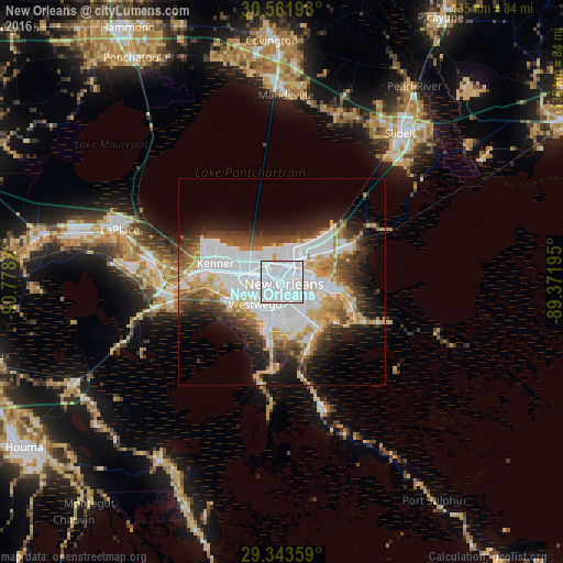
Analysis of New Orleans night lights 2016
Square area 10x10 km:
 90.91%
90-99
8.71%80-89
0.38%70-79
0%60-69
0%50-59
0%40-49
0%30-39
0%20-29
0%10-19
0%0-9
0%Square area 50x50 km:
14.64%90-99
6.78%80-89
4.87%70-79
3.88%60-69
3.49%50-59
2.73%40-49
4.73%30-39
4.17%20-29
5.47%10-19
10.04%0-9
39.21%Clear (daylight) street map image can be seen on geolist.org.
Map coordinates:
30° 33' 43.1" North, 90° 46' 41.5" West
29° 57' 16.7" North, 90° 4' 30.3" West
29° 20' 36.9" North, 89° 22' 19" West
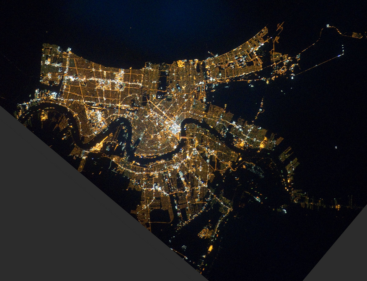
Fantastic image of New Orleans from space taken by astronauts [src2], but I don't have information about it's orientation, scale or angle. If necessary, it was rotated manually, so North points approximately to upper direction. Click to zoom in:
Some cities around New Orleans sort by population:
• Metairie Terrace
9 km =5.6 mi,  287°
287°
• Metairie
8.2 km =5.1 mi, 293°
• Marrero
6.6 km =4.1 mi,  201°
201°
• Terrytown
6.4 km =4 mi,  140°
140°
• Harvey
5.7 km =3.5 mi,  182°
182°
• Gretna
4.9 km =3 mi,  155°
155°
• Jefferson
7.6 km =4.7 mi,  279°
279°
• Westwego
8.4 km =5.2 mi,  230°
230°
4335045 (p: 389,617)
Sources (retrieved 2019-11-25):
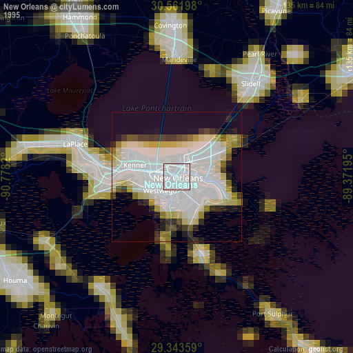
» NASA, Earths city lights 1995
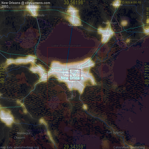
» NASA city lights 2003
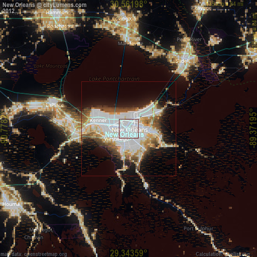
» Earth at Night: Flat Maps 2012, 2016
Src.2: NASA 2011-01-26