Terrytown night lights from space
Night Light of Terrytown (Louisiana) from space (United States) Src. Average luminocity for 10x10km area is 97.8413% and for 50x50km: 37.8124%.
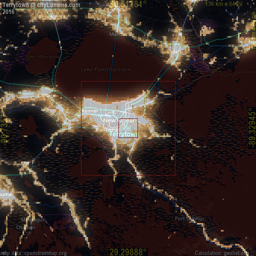
Analysis of Terrytown night lights 2016
Square area 10x10 km:
 68.85%
90-99
20.44%80-89
10.32%70-79
0.4%60-69
0%50-59
0%40-49
0%30-39
0%20-29
0%10-19
0%0-9
0%Square area 50x50 km:
14.38%90-99
6.6%80-89
4.79%70-79
3.91%60-69
3.06%50-59
2.34%40-49
4.19%30-39
3.98%20-29
5.28%10-19
10.36%0-9
41.11%Clear (daylight) street map image can be seen on geolist.org.
Map coordinates:
30° 31' 4.1" North, 90° 44' 8.5" West
29° 54' 36.8" North, 90° 1' 57.3" West
29° 17' 56" North, 89° 19' 46" West
Some cities around Terrytown sort by population:
• New Orleans
6.4 km =4 mi,  320°
320°
• Marrero
6.6 km =4.1 mi,  259°
259°
• Harvey
4.4 km =2.7 mi, 260°
• Gretna
2.1 km =1.3 mi,  283°
283°
• Chalmette
7.4 km =4.6 mi,  60°
60°
• Belle Chasse
7.4 km =4.6 mi,  146°
146°
• Woodmere
7.4 km =4.6 mi,  218°
218°
• Timberlane
3.6 km =2.2 mi,  179°
179°
4343327 (p: 23,319)
Sources (retrieved 2019-11-25):
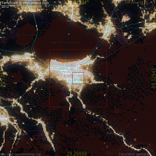
» Earth at Night: Flat Maps 2012, 2016