New Iberia night lights from space
Night Light of New Iberia (Louisiana) from space (United States) Src. Average luminocity for 10x10km area is 71.7348% and for 50x50km: 23.4833%.
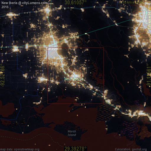
Analysis of New Iberia night lights 2016
Square area 10x10 km:
 16.29%
90-99
11.93%80-89
14.58%70-79
10.8%60-69
12.88%50-59
12.69%40-49
12.69%30-39
6.82%20-29
1.33%10-19
0%0-9
0%Square area 50x50 km:
4.01%90-99
2.49%80-89
2.92%70-79
2.91%60-69
3.9%50-59
3.79%40-49
4.84%30-39
4.62%20-29
6.35%10-19
12.54%0-9
51.64%Clear (daylight) street map image can be seen on geolist.org.
Map coordinates:
30° 36' 38.1" North, 92° 31' 18.7" West
30° 0' 12.7" North, 91° 49' 7.4" West
29° 23' 34" North, 91° 6' 56.2" West
Some cities around New Iberia sort by population:
• Lafayette
31.2 km =19.4 mi,  321°
321°
• Abbeville
30.6 km =19 mi,  263°
263°
• Youngsville
19.7 km =12.2 mi,  302°
302°
• Broussard
21 km =13 mi, 319°
• Scott
37 km =23 mi,  314°
314°
• Breaux Bridge
31 km =19.3 mi,  345°
345°
• Saint Martinville
13.6 km =8.5 mi, 354°
• Jeanerette
18.2 km =11.3 mi,  124°
124°
4334971 (p: 30,754)
Sources (retrieved 2019-11-25):
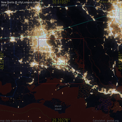
» Earth at Night: Flat Maps 2012, 2016