Morgantown night lights from space
Night Light of Morgantown (West Virginia) from space (United States) Src. Average luminocity for 10x10km area is 66.7029% and for 50x50km: 10.6981%.
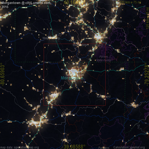
Analysis of Morgantown night lights 2016
Square area 10x10 km:
 17.69%
90-99
19.81%80-89
5.19%70-79
7.95%60-69
6.17%50-59
6.49%40-49
12.01%30-39
8.93%20-29
11.69%10-19
4.06%0-9
0%Square area 50x50 km:
1.2%90-99
1.58%80-89
0.95%70-79
1.06%60-69
1.06%50-59
1.84%40-49
1.98%30-39
2.33%20-29
3.61%10-19
7.35%0-9
77.03%Clear (daylight) street map image can be seen on geolist.org.
Map coordinates:
40° 10' 8.2" North, 80° 39' 32.5" West
39° 37' 46.3" North, 79° 57' 21.2" West
39° 5' 9.2" North, 79° 15' 10" West
Some cities around Morgantown sort by population:
• Fairmont
22.7 km =14.1 mi,  224°
224°
• Uniontown
36.4 km =22.6 mi,  34°
34°
• Bridgeport
46 km =28.6 mi,  214°
214°
• Cheat Lake
10 km =6.2 mi,  61°
61°
• Maple Glen
43 km =26.7 mi,  357°
357°
• California
48.8 km =30.3 mi,  6°
6°
• Brookhaven
4.8 km =3 mi,  114°
114°
• Grafton
32.5 km =20.2 mi,  189°
189°
4815352 (p: 30,708)
Sources (retrieved 2019-11-25):
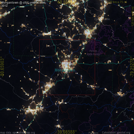
» Earth at Night: Flat Maps 2012, 2016