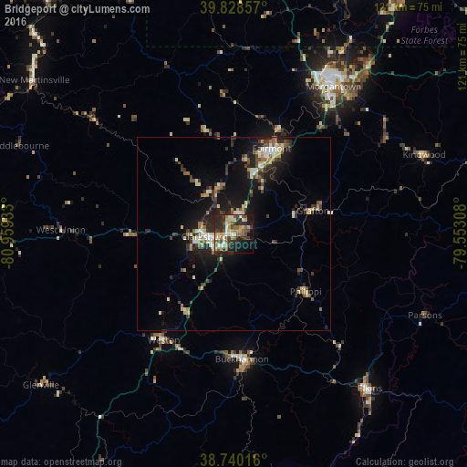
Bridgeport night lights from space
Night Light of Bridgeport (West Virginia) from space (United States) Src. Average luminocity for 10x10km area is 45.6922% and for 50x50km: 9.0806%.
Analysis of Bridgeport night lights 2016
Square area 10x10 km:
 5.27%
5.27%90-99
5.78%80-89
8.33%70-79
7.82%60-69
5.27%50-59
8.67%40-49
7.65%30-39
11.22%20-29
16.33%10-19
16.16%0-9
7.48%Square area 50x50 km:
0.84%90-99
1.36%80-89
1.05%70-79
1.09%60-69
1%50-59
1.2%40-49
1.4%30-39
2%20-29
2.83%10-19
7.07%0-9
80.16%Clear (daylight) street map image can be seen on geolist.org.
Map coordinates:
39° 49' 42.9" North, 80° 57' 33.6" West
39° 17' 11.3" North, 80° 15' 22.3" West
38° 44' 24.6" North, 79° 33' 11.1" West
Some cities around Bridgeport sort by population:
• Morgantown
46 km =28.6 mi,  34°
34°
• Fairmont
24.1 km =15 mi,  23°
23°
• Clarksburg
7.6 km =4.7 mi,  265°
265°
• Cheat Lake
55.1 km =34.2 mi,  38°
38°
• Elkins
53.4 km =33.2 mi,  138°
138°
• Buckhannon
32.6 km =20.3 mi,  176°
176°
• Brookhaven
47.1 km =29.3 mi, 39°
• Grafton
21.3 km =13.2 mi,  73°
73°
4800081 (p: 8,359)
Sources (retrieved 2019-11-25):
» Earth at Night: Flat Maps 2012, 2016