Mobile night lights from space
Night Light of Mobile (Alabama) from space (United States) Src. Average luminocity for 10x10km area is 77.1276% and for 50x50km: 39.343%.
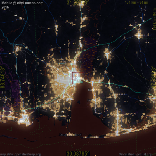
Analysis of Mobile night lights 2016
Square area 10x10 km:
 41.43%
90-99
17.31%80-89
4.37%70-79
5.42%60-69
3.15%50-59
2.1%40-49
6.82%30-39
6.12%20-29
9.09%10-19
4.2%0-9
0%Square area 50x50 km:
5.75%90-99
4.8%80-89
7.01%70-79
8.54%60-69
8.32%50-59
3.95%40-49
5.09%30-39
5.77%20-29
8.77%10-19
14.54%0-9
27.47%Clear (daylight) street map image can be seen on geolist.org.
Map coordinates:
31° 17' 49.5" North, 88° 44' 46.2" West
30° 41' 39.7" North, 88° 2' 35" West
30° 5' 16.3" North, 87° 20' 23.7" West
Some cities around Mobile sort by population:
• Daphne
16.7 km =10.4 mi,  127°
127°
• Prichard
6 km =3.7 mi,  325°
325°
• Tillmans Corner
16.8 km =10.4 mi,  226°
226°
• Saraland
14.3 km =8.9 mi,  349°
349°
• Spanish Fort
12.4 km =7.7 mi,  100°
100°
• Satsuma
17.7 km =11 mi,  355°
355°
• Theodore
20.6 km =12.8 mi,  217°
217°
• Chickasaw
8.3 km =5.2 mi,  338°
338°
4076598 (p: 194,288)
Sources (retrieved 2019-11-25):
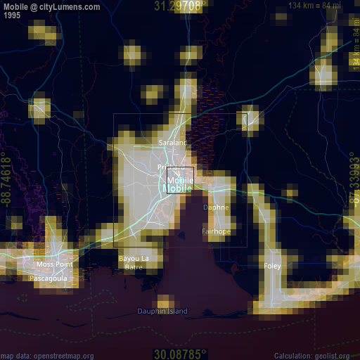
» NASA, Earths city lights 1995
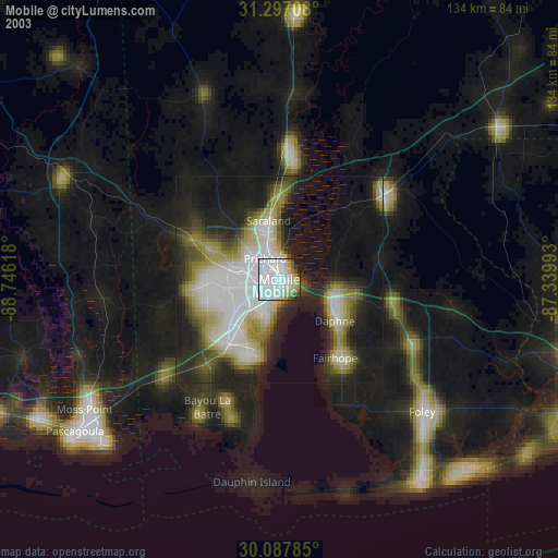
» NASA city lights 2003
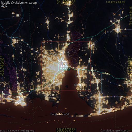
» Earth at Night: Flat Maps 2012, 2016