Milwaukie night lights from space
Night Light of Milwaukie (Oregon) from space (United States) Src. Average luminocity for 10x10km area is 78.0841% and for 50x50km: 44.1561%.
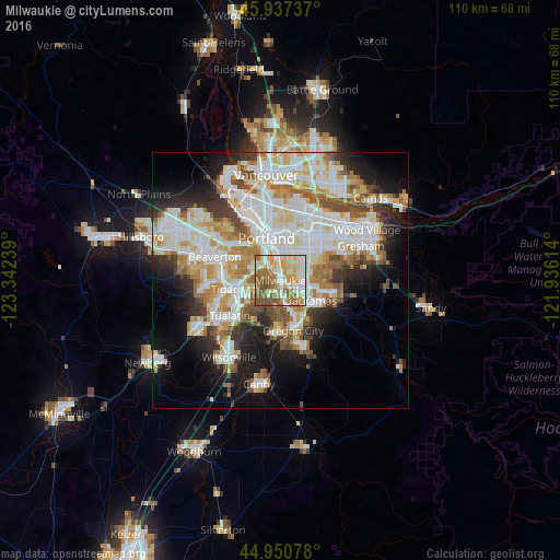
Analysis of Milwaukie night lights 2016
Square area 10x10 km:
 14.13%
90-99
20.32%80-89
16.35%70-79
13.02%60-69
16.03%50-59
15.87%40-49
4.29%30-39
0%20-29
0%10-19
0%0-9
0%Square area 50x50 km:
11.9%90-99
12.08%80-89
5.03%70-79
5.52%60-69
5.15%50-59
4.61%40-49
3.57%30-39
3.48%20-29
5.96%10-19
10.51%0-9
32.21%Clear (daylight) street map image can be seen on geolist.org.
Map coordinates:
45° 56' 14.5" North, 123° 20' 32.6" West
45° 26' 46.4" North, 122° 38' 21.3" West
44° 57' 2.8" North, 121° 56' 10.1" West
Some cities around Milwaukie sort by population:
• Lake Oswego
3.8 km =2.4 mi,  220°
220°
• Lents
6.7 km =4.2 mi,  56°
56°
• Happy Valley
8.5 km =5.3 mi,  89°
89°
• Oak Grove
3.3 km =2.1 mi,  181°
181°
• Oatfield
4.7 km =2.9 mi,  139°
139°
• Gladstone
8.1 km =5 mi,  154°
154°
• Jennings Lodge
6.5 km =4 mi,  161°
161°
• Clackamas
6.9 km =4.3 mi,  128°
128°
5740900 (p: 20,830)
Sources (retrieved 2019-11-25):
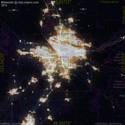
» Earth at Night: Flat Maps 2012, 2016