Middletown night lights from space
Night Light of Middletown (New York) from space (United States) Src. Average luminocity for 10x10km area is 46.699% and for 50x50km: 10.4478%.
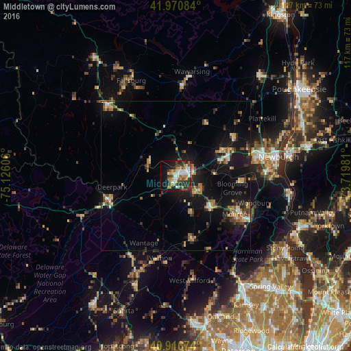
Analysis of Middletown night lights 2016
Square area 10x10 km:
 8.16%
8.16%90-99
9.52%80-89
6.29%70-79
7.14%60-69
5.44%50-59
5.78%40-49
3.57%30-39
12.07%20-29
11.9%10-19
19.22%0-9
10.88%Square area 50x50 km:
0.84%90-99
0.98%80-89
1.37%70-79
1.48%60-69
1.58%50-59
1.27%40-49
1.43%30-39
1.86%20-29
2.75%10-19
10.35%0-9
76.1%Clear (daylight) street map image can be seen on geolist.org.
Map coordinates:
41° 58' 15" North, 75° 7' 33.8" West
41° 26' 45.3" North, 74° 25' 22.5" West
40° 55' 0.3" North, 73° 43' 11.3" West
Some cities around Middletown sort by population:
• Scotchtown
6.6 km =4.1 mi,  52°
52°
• Monroe
23.5 km =14.6 mi,  123°
123°
• Port Jervis
23.8 km =14.8 mi,  250°
250°
• Mechanicstown
2.9 km =1.8 mi,  96°
96°
• Walden
23.4 km =14.5 mi,  56°
56°
• Warwick
21.7 km =13.5 mi,  165°
165°
• Washingtonville
21.5 km =13.4 mi, 95°
• Goshen
9.6 km =6 mi, 120°
5126842 (p: 27,812)
Sources (retrieved 2019-11-25):
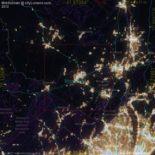
» Earth at Night: Flat Maps 2012, 2016