Mansfield night lights from space
Night Light of Mansfield (Ohio) from space (United States) Src. Average luminocity for 10x10km area is 65.8442% and for 50x50km: 10.1198%.
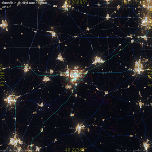
Analysis of Mansfield night lights 2016
Square area 10x10 km:
 16.72%
90-99
16.07%80-89
4.71%70-79
13.15%60-69
7.14%50-59
10.06%40-49
8.93%30-39
8.44%20-29
7.79%10-19
6.49%0-9
0.49%Square area 50x50 km:
1.3%90-99
1.52%80-89
1.06%70-79
1.34%60-69
1.19%50-59
1.23%40-49
1.73%30-39
1.45%20-29
2.69%10-19
6.88%0-9
79.6%Clear (daylight) street map image can be seen on geolist.org.
Map coordinates:
41° 17' 19.9" North, 83° 13' 6.9" West
40° 45' 30.2" North, 82° 30' 55.6" West
40° 13' 25.2" North, 81° 48' 44.4" West
Some cities around Mansfield sort by population:
• Ashland
20.6 km =12.8 mi,  53°
53°
• Mount Vernon
40.7 km =25.3 mi,  176°
176°
• Bucyrus
39.1 km =24.3 mi,  278°
278°
• Galion
23.3 km =14.5 mi,  263°
263°
• Shelby
18.4 km =11.4 mi,  318°
318°
• Ontario
6.3 km =3.9 mi,  271°
271°
• Willard
37.3 km =23.2 mi,  331°
331°
• Apple Valley
38.1 km =23.7 mi,  158°
158°
5161723 (p: 46,830)
Sources (retrieved 2019-11-25):
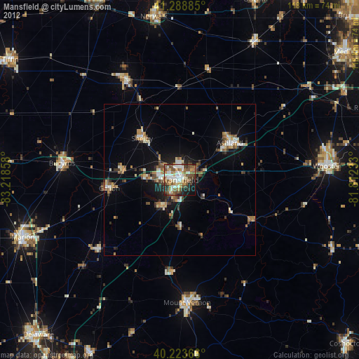
» Earth at Night: Flat Maps 2012, 2016