Mankato night lights from space
Night Light of Mankato (Minnesota) from space (United States) Src. Average luminocity for 10x10km area is 58.3318% and for 50x50km: 5.0286%.
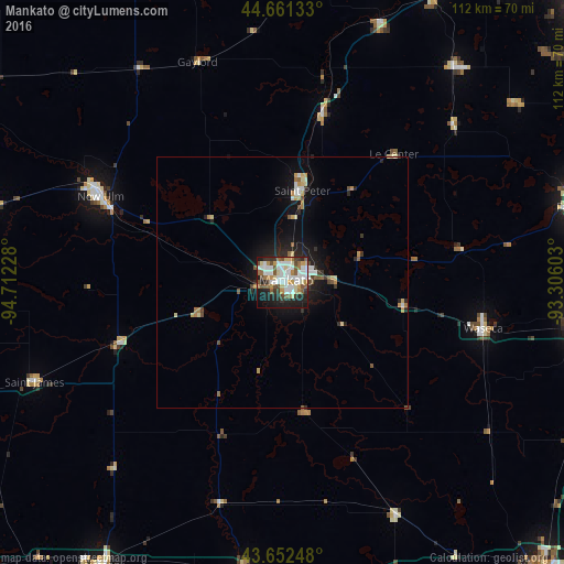
Analysis of Mankato night lights 2016
Square area 10x10 km:
 15.76%
90-99
14.55%80-89
5.91%70-79
5.76%60-69
7.12%50-59
8.18%40-49
5.61%30-39
6.97%20-29
11.82%10-19
16.06%0-9
2.27%Square area 50x50 km:
0.81%90-99
0.85%80-89
0.64%70-79
0.54%60-69
0.51%50-59
0.69%40-49
0.5%30-39
0.51%20-29
1.41%10-19
3.57%0-9
89.96%Clear (daylight) street map image can be seen on geolist.org.
Map coordinates:
44° 39' 40.8" North, 94° 42' 44.2" West
44° 9' 32.6" North, 94° 0' 32.9" West
43° 39' 8.9" North, 93° 18' 21.7" West
Some cities around Mankato sort by population:
• Owatonna
63.1 km =39.2 mi,  97°
97°
• Faribault
60.9 km =37.8 mi,  75°
75°
• North Mankato
2.5 km =1.6 mi,  308°
308°
• New Ulm
39.8 km =24.7 mi,  295°
295°
• Saint Peter
18.7 km =11.6 mi,  12°
12°
• Waseca
41.1 km =25.5 mi, 102°
• New Prague
54.9 km =34.1 mi,  38°
38°
• Belle Plaine
55 km =34.2 mi,  20°
20°
5036420 (p: 41,044)
Sources (retrieved 2019-11-25):
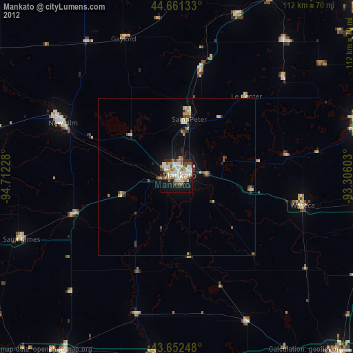
» Earth at Night: Flat Maps 2012, 2016