Mahwah night lights from space
Night Light of Mahwah (New Jersey) from space (United States) Src. Average luminocity for 10x10km area is 67.9172% and for 50x50km: 46.597%.
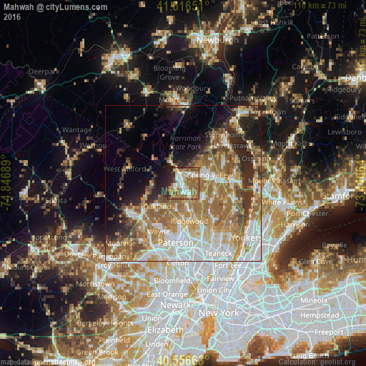
Analysis of Mahwah night lights 2016
Square area 10x10 km:
 13.64%
90-99
12.01%80-89
6.98%70-79
9.9%60-69
26.3%50-59
13.96%40-49
3.08%30-39
3.73%20-29
8.44%10-19
1.95%0-9
0%Square area 50x50 km:
9.83%90-99
8.55%80-89
5.44%70-79
7.65%60-69
11.46%50-59
7.38%40-49
4.44%30-39
4.28%20-29
6.6%10-19
7.63%0-9
26.74%Clear (daylight) street map image can be seen on geolist.org.
Map coordinates:
41° 36' 59.4" North, 74° 50' 48.8" West
41° 5' 19.4" North, 74° 8' 37.5" West
40° 33' 23.9" North, 73° 26' 26.3" West
Some cities around Mahwah sort by population:
• Monsey
6.8 km =4.2 mi,  68°
68°
• Ramsey
3.5 km =2.2 mi,  176°
176°
• Suffern
2.9 km =1.8 mi,  350°
350°
• Airmont
2.7 km =1.7 mi,  59°
59°
• Upper Saddle River
5.1 km =3.2 mi,  131°
131°
• Viola
7.4 km =4.6 mi,  44°
44°
• Allendale
5.4 km =3.4 mi,  166°
166°
• Kaser
7.4 km =4.6 mi, 60°
5100776 (p: 24,062)
Sources (retrieved 2019-11-25):
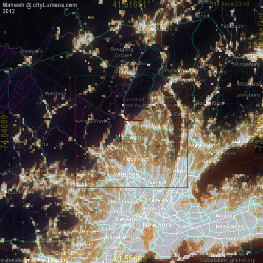
» Earth at Night: Flat Maps 2012, 2016