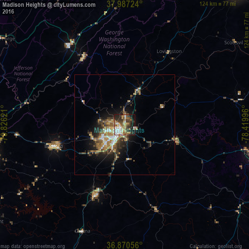
Madison Heights night lights from space
Night Light of Madison Heights (Virginia) from space (United States) Src. Average luminocity for 10x10km area is 54.6429% and for 50x50km: 10.6216%.
Analysis of Madison Heights night lights 2016
Square area 10x10 km:
 9.09%
9.09%90-99
11.2%80-89
9.74%70-79
6.82%60-69
6.17%50-59
8.12%40-49
9.25%30-39
10.39%20-29
14.61%10-19
13.31%0-9
1.3%Square area 50x50 km:
1.19%90-99
1.5%80-89
1.37%70-79
1.23%60-69
2.04%50-59
1.87%40-49
1.66%30-39
2.21%20-29
2.67%10-19
5.19%0-9
79.07%Clear (daylight) street map image can be seen on geolist.org.
Map coordinates:
37° 59' 14.1" North, 79° 49' 34.4" West
37° 25' 51.5" North, 79° 7' 23.1" West
36° 52' 14" North, 78° 25' 11.9" West
Some cities around Madison Heights sort by population:
• Lynchburg
2.6 km =1.6 mi,  221°
221°
• West Lynchburg
5.8 km =3.6 mi,  237°
237°
• Timberlake
17.1 km =10.6 mi, 224°
• Forest
16.5 km =10.3 mi, 243°
• Farmville
66.2 km =41.1 mi,  102°
102°
• Lexington
48.3 km =30 mi,  324°
324°
• Buena Vista
39.4 km =24.5 mi,  328°
328°
• Bedford
36.9 km =22.9 mi,  253°
253°
4771247 (p: 11,285)
Sources (retrieved 2019-11-25):
» Earth at Night: Flat Maps 2012, 2016