Lynchburg night lights from space
Night Light of Lynchburg (Virginia) from space (United States) Src. Average luminocity for 10x10km area is 67.4968% and for 50x50km: 10.5661%.
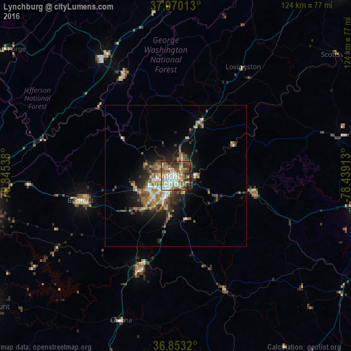
Analysis of Lynchburg night lights 2016
Square area 10x10 km:
 12.18%
90-99
17.21%80-89
10.88%70-79
10.88%60-69
9.42%50-59
10.71%40-49
10.39%30-39
8.77%20-29
7.63%10-19
1.95%0-9
0%Square area 50x50 km:
1.19%90-99
1.5%80-89
1.34%70-79
1.23%60-69
2.04%50-59
1.85%40-49
1.63%30-39
2.18%20-29
2.7%10-19
5.24%0-9
79.1%Clear (daylight) street map image can be seen on geolist.org.
Map coordinates:
37° 58' 12.5" North, 79° 50' 43.4" West
37° 24' 49.5" North, 79° 8' 32.1" West
36° 51' 11.5" North, 78° 26' 20.9" West
Some cities around Lynchburg sort by population:
• West Lynchburg
3.4 km =2.1 mi,  249°
249°
• Timberlake
14.5 km =9 mi,  224°
224°
• Madison Heights
2.6 km =1.6 mi,  41°
41°
• Forest
14.2 km =8.8 mi, 246°
• Farmville
67.5 km =41.9 mi,  100°
100°
• Lexington
49 km =30.4 mi,  327°
327°
• Buena Vista
40.2 km =25 mi, 332°
• Bedford
34.8 km =21.6 mi,  255°
255°
4771075 (p: 79,812)
Sources (retrieved 2019-11-25):
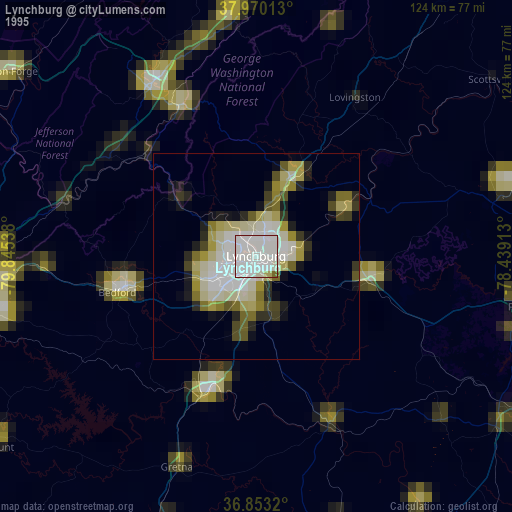
» NASA, Earths city lights 1995
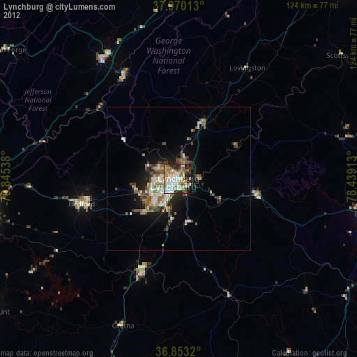
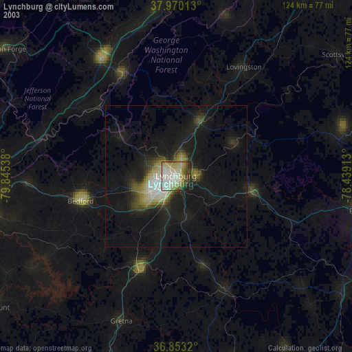
» NASA city lights 2003
» Earth at Night: Flat Maps 2012, 2016