Lodi night lights from space
Night Light of Lodi (New Jersey) from space (United States) Src. Average luminocity for 10x10km area is 99.0306% and for 50x50km: 82.4283%.
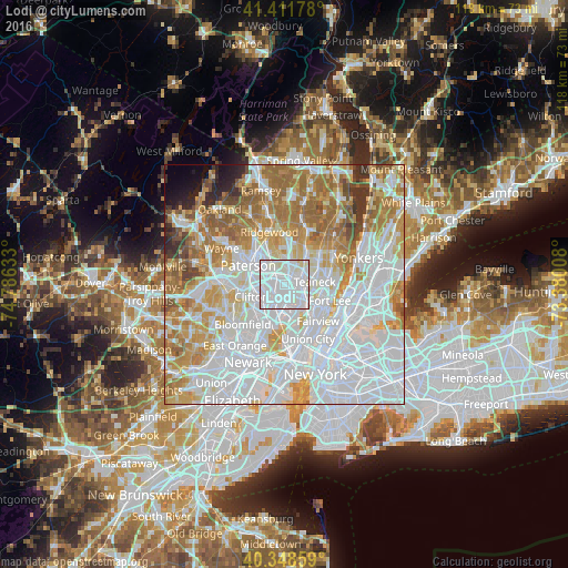
Analysis of Lodi night lights 2016
Square area 10x10 km:
 73.81%
90-99
24.15%80-89
2.04%70-79
0%60-69
0%50-59
0%40-49
0%30-39
0%20-29
0%10-19
0%0-9
0%Square area 50x50 km:
37.34%90-99
18.05%80-89
8.02%70-79
10.48%60-69
11.72%50-59
5.27%40-49
2.36%30-39
2.19%20-29
1.79%10-19
1.47%0-9
1.32%Clear (daylight) street map image can be seen on geolist.org.
Map coordinates:
41° 24' 42.4" North, 74° 47' 10.8" West
40° 52' 56.4" North, 74° 4' 59.5" West
40° 20' 54.9" North, 73° 22' 48.3" West
Some cities around Lodi sort by population:
• Hackensack
3.4 km =2.1 mi,  83°
83°
• Garfield
2.5 km =1.6 mi,  267°
267°
• Elmwood Park
3.8 km =2.4 mi,  309°
309°
• Saddle Brook
2 km =1.2 mi,  336°
336°
• Hasbrouck Heights
2.7 km =1.7 mi,  175°
175°
• Maywood
2.9 km =1.8 mi,  38°
38°
• Wood-Ridge
4.1 km =2.5 mi,  185°
185°
• Rochelle Park
2.9 km =1.8 mi,  13°
13°
5100604 (p: 24,835)
Sources (retrieved 2019-11-25):
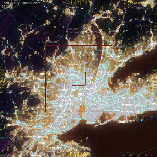
» Earth at Night: Flat Maps 2012, 2016