LaGrange night lights from space
Night Light of LaGrange (Georgia) from space (United States) Src. Average luminocity for 10x10km area is 68.6081% and for 50x50km: 9.9706%.
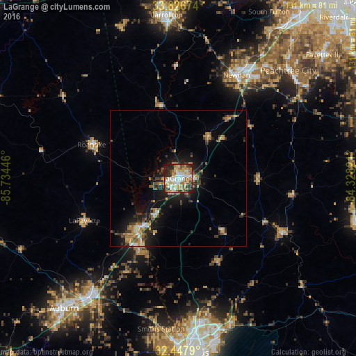
Analysis of LaGrange night lights 2016
Square area 10x10 km:
 14.47%
90-99
15.75%80-89
12.64%70-79
12.09%60-69
12.45%50-59
6.41%40-49
6.04%30-39
6.23%20-29
11.36%10-19
2.56%0-9
0%Square area 50x50 km:
1.05%90-99
1.15%80-89
1.14%70-79
1.62%60-69
1.81%50-59
1.14%40-49
1.35%30-39
2.08%20-29
3.07%10-19
7.03%0-9
78.56%Clear (daylight) street map image can be seen on geolist.org.
Map coordinates:
33° 37' 36.3" North, 85° 44' 4.1" West
33° 2' 21.4" North, 85° 1' 52.8" West
32° 26' 52.4" North, 84° 19' 41.6" West
Some cities around LaGrange sort by population:
• Newnan
43.6 km =27.1 mi,  29°
29°
• Peachtree City
56.8 km =35.3 mi,  45°
45°
• Opelika
54.5 km =33.9 mi,  216°
216°
• Carrollton
60.3 km =37.5 mi,  355°
355°
• Valley
28.1 km =17.5 mi,  209°
209°
• Lanett
24.1 km =15 mi, 218°
• Roanoke
34.1 km =21.2 mi,  291°
291°
• Smiths Station
55.9 km =34.7 mi,  186°
186°
4204230 (p: 29,588)
Sources (retrieved 2019-11-25):
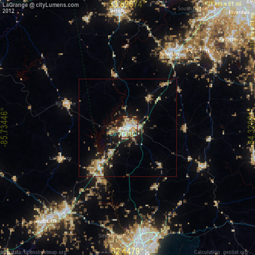
» Earth at Night: Flat Maps 2012, 2016