La Grange Park night lights from space
Night Light of La Grange Park (Illinois) from space (United States) Src. Average luminocity for 10x10km area is 95.819% and for 50x50km: 88.5321%.
Analysis of La Grange Park night lights 2016
Square area 10x10 km:
 37.78%
90-99
47.46%80-89
10.63%70-79
4.13%60-69
0%50-59
0%40-49
0%30-39
0%20-29
0%10-19
0%0-9
0%Square area 50x50 km:
46.57%90-99
22.37%80-89
10.78%70-79
7.11%60-69
4.46%50-59
2.87%40-49
1.51%30-39
0.87%20-29
0.77%10-19
0.9%0-9
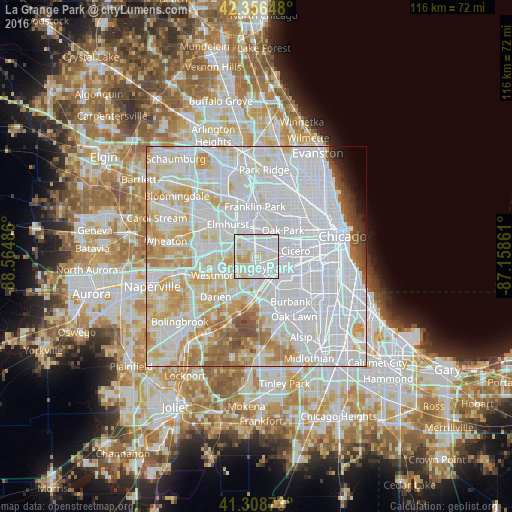
1.81%Clear (daylight) street map image can be seen on geolist.org.
Map coordinates:
42° 21' 23.3" North, 88° 33' 53.5" West
41° 50' 5.1" North, 87° 51' 42.2" West
41° 18' 31.4" North, 87° 9' 31" West
Some cities around La Grange Park sort by population:
• Maywood
5.2 km =3.2 mi,  17°
17°
• Brookfield
1.5 km =0.9 mi,  145°
145°
• Westchester
2.4 km =1.5 mi,  316°
316°
• Western Springs
4.3 km =2.7 mi,  229°
229°
• Lyons
4.3 km =2.7 mi,  123°
123°
• Riverside
3.2 km =2 mi,  89°
89°
• Broadview
3.3 km =2.1 mi,  12°
12°
• North Riverside
3.3 km =2.1 mi,  74°
74°
4898850 (p: 13,608)
Sources (retrieved 2019-11-25):
» Earth at Night: Flat Maps 2012, 2016