Indio night lights from space
Night Light of Indio (California) from space (United States) Src. Average luminocity for 10x10km area is 75.7015% and for 50x50km: 15.9207%.
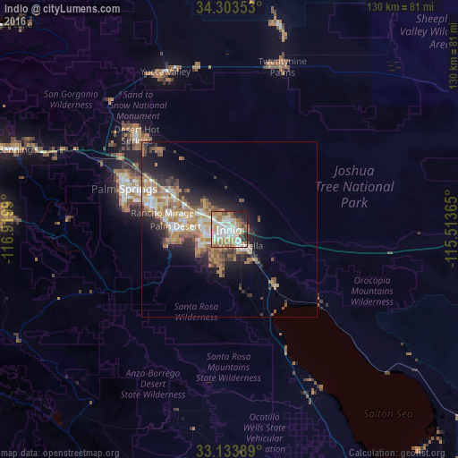
Analysis of Indio night lights 2016
Square area 10x10 km:
 17.4%
17.4%90-99
24.73%80-89
9.16%70-79
13.55%60-69
13.74%50-59
5.86%40-49
3.11%30-39
4.58%20-29
4.95%10-19
2.93%0-9
0%Square area 50x50 km:
2.1%90-99
2.82%80-89
1.71%70-79
2.4%60-69
3.95%50-59
2.71%40-49
1.69%30-39
1.98%20-29
3.67%10-19
6.66%0-9
70.31%Clear (daylight) street map image can be seen on geolist.org.
Map coordinates:
34° 18' 12.7" North, 116° 55' 11.6" West
33° 43' 14.5" North, 116° 13' 0.4" West
33° 8' 2" North, 115° 30' 49.1" West
Some cities around Indio sort by population:
• Palm Desert
14.8 km =9.2 mi,  270°
270°
• Coachella
6 km =3.7 mi,  138°
138°
• La Quinta
10.7 km =6.6 mi,  233°
233°
• Rancho Mirage
18.2 km =11.3 mi,  276°
276°
• Mecca
20.9 km =13 mi, 142°
• Thousand Palms
19.5 km =12.1 mi,  304°
304°
• Bermuda Dunes
7.1 km =4.4 mi,  290°
290°
• Indian Wells
11.7 km =7.3 mi, 268°
5359446 (p: 87,533)
Sources (retrieved 2019-11-25):
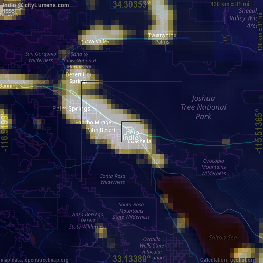
» NASA, Earths city lights 1995
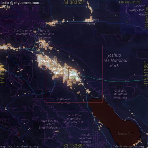
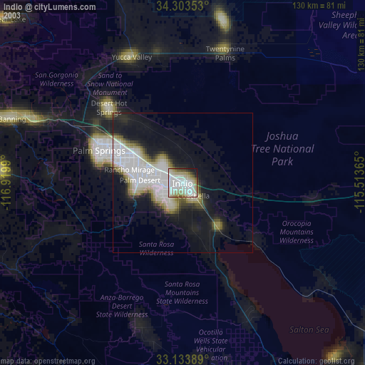
» NASA city lights 2003
» Earth at Night: Flat Maps 2012, 2016