Houma night lights from space
Night Light of Houma (Louisiana) from space (United States) Src. Average luminocity for 10x10km area is 85% and for 50x50km: 20.495%.
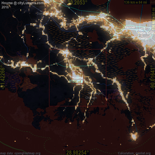
Analysis of Houma night lights 2016
Square area 10x10 km:
 30.95%
90-99
28.17%80-89
8.33%70-79
9.52%60-69
9.33%50-59
6.94%40-49
2.98%30-39
2.38%20-29
1.39%10-19
0%0-9
0%Square area 50x50 km:
2.03%90-99
2.13%80-89
4.08%70-79
3.11%60-69
3.99%50-59
1.68%40-49
2.54%30-39
3.79%20-29
5.61%10-19
14.18%0-9
56.87%Clear (daylight) street map image can be seen on geolist.org.
Map coordinates:
30° 12' 19.1" North, 91° 25' 21.6" West
29° 35' 44.8" North, 90° 43' 10.3" West
28° 58' 57.1" North, 90° 0' 59.1" West
Some cities around Houma sort by population:
• Bayou Cane
4.4 km =2.7 mi,  315°
315°
• Thibodaux
24.4 km =15.2 mi,  335°
335°
• Raceland
18.7 km =11.6 mi,  38°
38°
• Larose
32.8 km =20.4 mi,  94°
94°
• Schriever
18.5 km =11.5 mi,  331°
331°
• Cut Off
37.4 km =23.2 mi,  99°
99°
• Gray
13.1 km =8.1 mi, 330°
• Chackbay
32.9 km =20.4 mi,  346°
346°
4328010 (p: 34,287)
Sources (retrieved 2019-11-25):
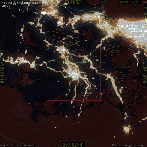
» Earth at Night: Flat Maps 2012, 2016