Hopkinton night lights from space
Night Light of Hopkinton (New Hampshire) from space (United States) Src. Average luminocity for 10x10km area is 2.3742% and for 50x50km: 7.2033%.
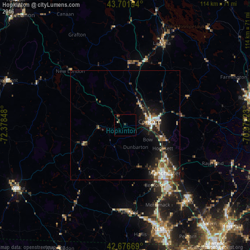
Analysis of Hopkinton night lights 2016
Square area 10x10 km:
 0%
0%90-99
0.61%80-89
0%70-79
0%60-69
0%50-59
1.21%40-49
0.76%30-39
1.06%20-29
0.61%10-19
0%0-9
95.76%Square area 50x50 km:
1.01%90-99
1.11%80-89
0.69%70-79
0.73%60-69
1.01%50-59
1.06%40-49
1.26%30-39
1.05%20-29
2.18%10-19
5.57%0-9
84.32%Clear (daylight) street map image can be seen on geolist.org.
Map coordinates:
43° 42' 7" North, 72° 22' 42.5" West
43° 11' 29.3" North, 71° 40' 31.3" West
42° 40' 36.1" North, 70° 58' 20" West
Some cities around Hopkinton sort by population:
• Concord
11.3 km =7 mi,  80°
80°
• East Concord
12.5 km =7.8 mi,  63°
63°
• Weare
11.6 km =7.2 mi,  202°
202°
• Bow Bog
15.5 km =9.6 mi,  120°
120°
• Pembroke
18.3 km =11.4 mi,  105°
105°
• South Hooksett
26.8 km =16.7 mi,  133°
133°
• Suncook
19.3 km =12 mi, 110°
• Northfield
27.7 km =17.2 mi,  14°
14°
5087639 (p: 5,676)
Sources (retrieved 2019-11-25):
» Earth at Night: Flat Maps 2012, 2016