Concord night lights from space
Night Light of Concord (New Hampshire) from space (United States) Src. Average luminocity for 10x10km area is 42.6591% and for 50x50km: 6.6254%.
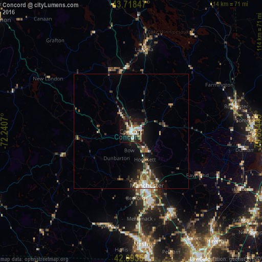
Analysis of Concord night lights 2016
Square area 10x10 km:
 9.39%
9.39%90-99
8.18%80-89
2.73%70-79
4.85%60-69
6.36%50-59
5.91%40-49
6.06%30-39
2.42%20-29
16.36%10-19
27.12%0-9
10.61%Square area 50x50 km:
0.84%90-99
0.99%80-89
0.58%70-79
0.72%60-69
0.86%50-59
0.98%40-49
1.23%30-39
1.03%20-29
2.01%10-19
5.44%0-9
85.31%Clear (daylight) street map image can be seen on geolist.org.
Map coordinates:
43° 43' 6.5" North, 72° 14' 26.5" West
43° 12' 29.3" North, 71° 32' 15.3" West
42° 41' 36.6" North, 70° 50' 4" West
Some cities around Concord sort by population:
• Manchester
24.6 km =15.3 mi,  164°
164°
• East Concord
3.8 km =2.4 mi,  359°
359°
• Weare
20.1 km =12.5 mi,  231°
231°
• Bow Bog
10 km =6.2 mi,  167°
167°
• Pembroke
9.4 km =5.8 mi,  136°
136°
• Hopkinton
11.3 km =7 mi,  260°
260°
• South Hooksett
21.8 km =13.5 mi, 157°
• Suncook
11 km =6.8 mi, 141°
5084868 (p: 42,620)
Sources (retrieved 2019-11-25):
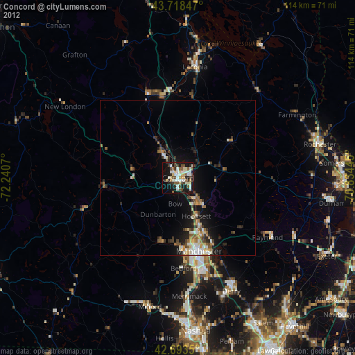
» Earth at Night: Flat Maps 2012, 2016