East Lansing night lights from space
Night Light of East Lansing (Michigan) from space (United States) Src. Average luminocity for 10x10km area is 80.2288% and for 50x50km: 16.4676%.
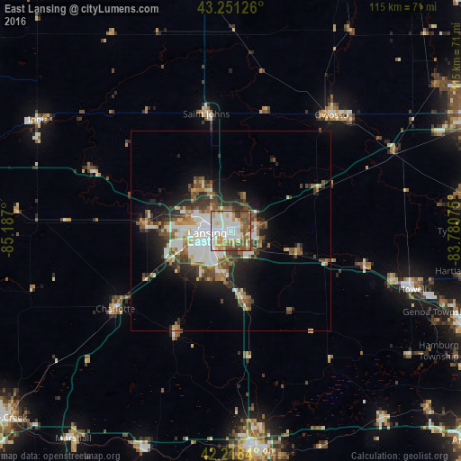
Analysis of East Lansing night lights 2016
Square area 10x10 km:
 26.36%
90-99
21.67%80-89
8.18%70-79
13.03%60-69
7.73%50-59
13.33%40-49
7.12%30-39
2.58%20-29
0%10-19
0%0-9
0%Square area 50x50 km:
3.46%90-99
3.38%80-89
1.38%70-79
1.56%60-69
2.11%50-59
2.62%40-49
2.6%30-39
2.41%20-29
3.52%10-19
6.49%0-9
70.48%Clear (daylight) street map image can be seen on geolist.org.
Map coordinates:
43° 15' 4.5" North, 85° 11' 13.2" West
42° 44' 13.1" North, 84° 29' 1.9" West
42° 13' 6.2" North, 83° 46' 50.7" West
Some cities around East Lansing sort by population:
• Lansing
5.9 km =3.7 mi,  265°
265°
• Holt
11 km =6.8 mi,  193°
193°
• Waverly
11.2 km =7 mi, 271°
• Okemos
4.9 km =3 mi,  109°
109°
• Haslett
6.9 km =4.3 mi,  80°
80°
• Mason
17.9 km =11.1 mi,  169°
169°
• Grand Ledge
21.5 km =13.4 mi, 274°
• Eaton Rapids
29 km =18 mi,  209°
209°
4991640 (p: 48,471)
Sources (retrieved 2019-11-25):
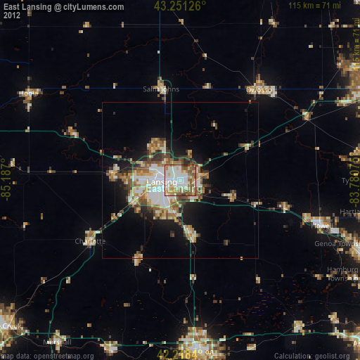
» Earth at Night: Flat Maps 2012, 2016