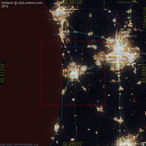
Holland night lights from space
Night Light of Holland (Michigan) from space (United States) Src. Average luminocity for 10x10km area is 66.9439% and for 50x50km: 9.3651%.
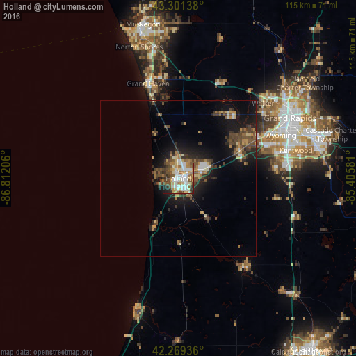
Analysis of Holland night lights 2016
Square area 10x10 km:
 14.85%
90-99
16.52%80-89
7.88%70-79
9.09%60-69
11.67%50-59
9.7%40-49
10.15%30-39
8.48%20-29
6.97%10-19
4.7%0-9
0%Square area 50x50 km:
0.92%90-99
1.07%80-89
0.91%70-79
1.17%60-69
1.32%50-59
1.6%40-49
2.5%30-39
1.64%20-29
2.66%10-19
6.84%0-9
79.38%Clear (daylight) street map image can be seen on geolist.org.
Map coordinates:
43° 18' 5" North, 86° 48' 43.4" West
42° 47' 15.1" North, 86° 6' 32.1" West
42° 16' 9.7" North, 85° 24' 20.9" West
Some cities around Holland sort by population:
• Allendale
24.1 km =15 mi,  31°
31°
• Jenison
29.1 km =18.1 mi,  62°
62°
• Grandville
31.3 km =19.4 mi, 64°
• Grand Haven
32.1 km =19.9 mi,  342°
342°
• Hudsonville
21.9 km =13.6 mi,  65°
65°
• Byron Center
31.6 km =19.6 mi,  85°
85°
• Zeeland
7.9 km =4.9 mi, 69°
• Allegan
35.4 km =22 mi,  144°
144°
4996248 (p: 33,742)
Sources (retrieved 2019-11-25):
» Earth at Night: Flat Maps 2012, 2016