Cleburne night lights from space
Night Light of Cleburne (Texas) from space (United States) Src. Average luminocity for 10x10km area is 50.326% and for 50x50km: 16.7463%.
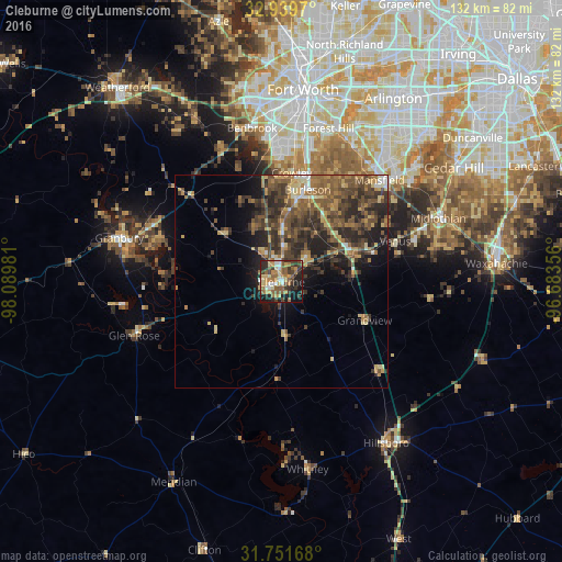
Analysis of Cleburne night lights 2016
Square area 10x10 km:
 5.68%
5.68%90-99
3.85%80-89
9.52%70-79
10.07%60-69
7.88%50-59
15.38%40-49
6.41%30-39
10.44%20-29
13%10-19
16.67%0-9
1.1%Square area 50x50 km:
0.88%90-99
0.96%80-89
2.38%70-79
2.33%60-69
2.87%50-59
4.4%40-49
4.75%30-39
5.05%20-29
5.88%10-19
6.66%0-9
63.85%Clear (daylight) street map image can be seen on geolist.org.
Map coordinates:
32° 56' 22.9" North, 98° 5' 23.3" West
32° 20' 51.5" North, 97° 23' 12" West
31° 45' 6" North, 96° 41' 0.8" West
Some cities around Cleburne sort by population:
• Mansfield
33.2 km =20.6 mi,  43°
43°
• Burleson
22.5 km =14 mi,  15°
15°
• Crowley
25.8 km =16 mi,  5°
5°
• Rendon
28.8 km =17.9 mi,  28°
28°
• Everman
32.8 km =20.4 mi, 16°
• Keene
8 km =5 mi,  47°
47°
• Joshua
12.7 km =7.9 mi,  359°
359°
• Pecan Plantation
27.2 km =16.9 mi,  272°
272°
4681976 (p: 30,020)
Sources (retrieved 2019-11-25):
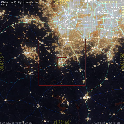
» Earth at Night: Flat Maps 2012, 2016