Hempstead night lights from space
Night Light of Hempstead (New York) from space (United States) Src. Average luminocity for 10x10km area is 99.5422% and for 50x50km: 59.1375%.
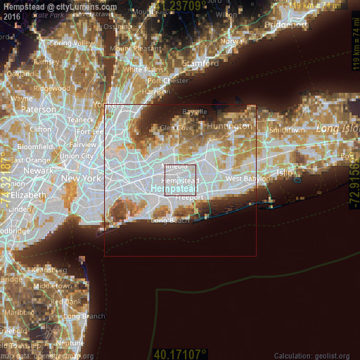
Analysis of Hempstead night lights 2016
Square area 10x10 km:
 79.06%
90-99
19.97%80-89
0.97%70-79
0%60-69
0%50-59
0%40-49
0%30-39
0%20-29
0%10-19
0%0-9
0%Square area 50x50 km:
27.38%90-99
13.02%80-89
4.47%70-79
5.63%60-69
5.7%50-59
4.5%40-49
3.27%30-39
2.88%20-29
5.2%10-19
7%0-9
20.94%Clear (daylight) street map image can be seen on geolist.org.
Map coordinates:
41° 14' 13.5" North, 74° 19' 18.7" West
40° 42' 22.4" North, 73° 37' 7.5" West
40° 10' 15.9" North, 72° 54' 56.2" West
Some cities around Hempstead sort by population:
• Franklin Square
4.8 km =3 mi,  271°
271°
• Uniondale
2.3 km =1.4 mi,  106°
106°
• Garden City
2.6 km =1.6 mi,  330°
330°
• West Hempstead
2.7 km =1.7 mi, 266°
• Roosevelt
4 km =2.5 mi,  140°
140°
• North Merrick
5 km =3.1 mi, 109°
• East Garden City
3.2 km =2 mi,  32°
32°
• Lakeview
3.7 km =2.3 mi,  230°
230°
5120478 (p: 55,547)
Sources (retrieved 2019-11-25):
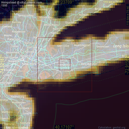
» NASA, Earths city lights 1995
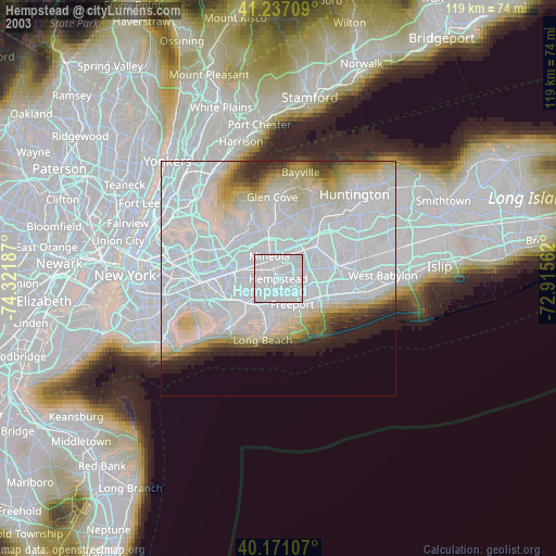
» NASA city lights 2003
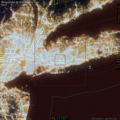
» Earth at Night: Flat Maps 2012, 2016