West Hempstead night lights from space
Night Light of West Hempstead (New York) from space (United States) Src. Average luminocity for 10x10km area is 99.7321% and for 50x50km: 60.8571%.
Analysis of West Hempstead night lights 2016
Square area 10x10 km:
 81.66%
90-99
18.02%80-89
0.32%70-79
0%60-69
0%50-59
0%40-49
0%30-39
0%20-29
0%10-19
0%0-9
0%Square area 50x50 km:
29.98%90-99
13.07%80-89
4.19%70-79
5.24%60-69
5.35%50-59
4.24%40-49
3.21%30-39
2.94%20-29
5.04%10-19
7.04%0-9
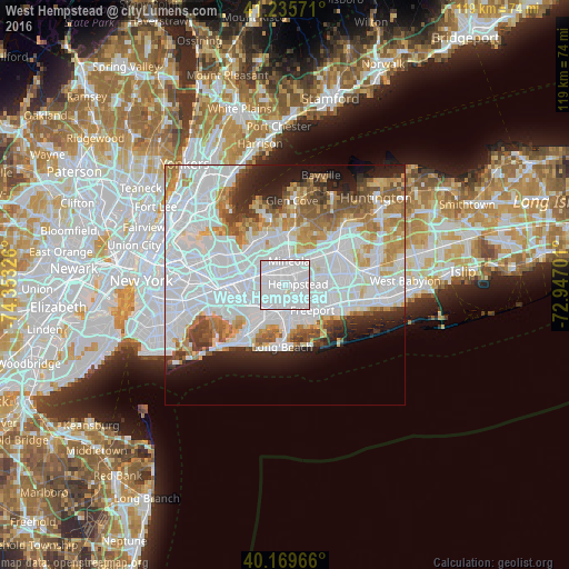
19.7%Clear (daylight) street map image can be seen on geolist.org.
Map coordinates:
41° 14' 8.6" North, 74° 21' 11.7" West
40° 42' 17.4" North, 73° 39' 0.5" West
40° 10' 10.8" North, 72° 56' 49.2" West
Some cities around West Hempstead sort by population:
• Hempstead
2.7 km =1.7 mi,  86°
86°
• Franklin Square
2.2 km =1.4 mi,  277°
277°
• Uniondale
4.8 km =3 mi,  95°
95°
• Garden City
2.8 km =1.7 mi,  28°
28°
• New Hyde Park
4.6 km =2.9 mi,  316°
316°
• Malverne
3.5 km =2.2 mi,  215°
215°
• Garden City Park
4.2 km =2.6 mi,  345°
345°
• Lakeview
2.2 km =1.4 mi,  185°
185°
5143832 (p: 18,862)
Sources (retrieved 2019-11-25):
» Earth at Night: Flat Maps 2012, 2016