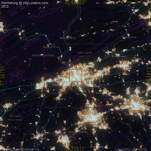
Harrisburg night lights from space
Night Light of Harrisburg (Pennsylvania) from space (United States) Src. Average luminocity for 10x10km area is 88.6672% and for 50x50km: 26.1111%.
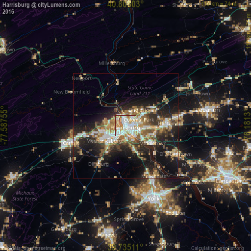
Analysis of Harrisburg night lights 2016
Square area 10x10 km:
 29.55%
90-99
29.87%80-89
14.45%70-79
14.12%60-69
8.12%50-59
2.44%40-49
1.14%30-39
0.32%20-29
0%10-19
0%0-9
0%Square area 50x50 km:
3.94%90-99
4.13%80-89
3.58%70-79
3.44%60-69
3.87%50-59
3.96%40-49
3.62%30-39
4.22%20-29
7.94%10-19
15.15%0-9
46.16%Clear (daylight) street map image can be seen on geolist.org.
Map coordinates:
40° 48' 28.9" North, 77° 35' 15.2" West
40° 16' 25.3" North, 76° 53' 3.9" West
39° 44' 6.4" North, 76° 10' 52.7" West
Some cities around Harrisburg sort by population:
• Colonial Park
7 km =4.3 mi,  64°
64°
• Progress
4.7 km =2.9 mi,  74°
74°
• Camp Hill
4.8 km =3 mi,  218°
218°
• New Cumberland
4.6 km =2.9 mi,  180°
180°
• Lower Allen
5.4 km =3.4 mi,  194°
194°
• Enola
4.6 km =2.9 mi,  293°
293°
• Steelton
5.6 km =3.5 mi,  139°
139°
• Paxtonia
9 km =5.6 mi, 57°
5192726 (p: 49,081)
Sources (retrieved 2019-11-25):
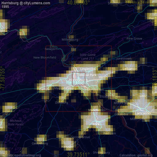
» NASA, Earths city lights 1995
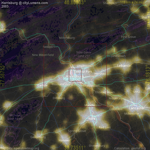
» NASA city lights 2003
» Earth at Night: Flat Maps 2012, 2016