Hammond night lights from space
Night Light of Hammond (Louisiana) from space (United States) Src. Average luminocity for 10x10km area is 82.196% and for 50x50km: 19.8418%.
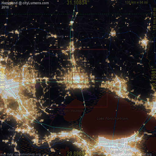
Analysis of Hammond night lights 2016
Square area 10x10 km:
 16.67%
90-99
17.77%80-89
21.25%70-79
23.81%60-69
16.12%50-59
1.83%40-49
1.83%30-39
0.73%20-29
0%10-19
0%0-9
0%Square area 50x50 km:
0.92%90-99
1.04%80-89
4.22%70-79
3.84%60-69
4.71%50-59
2.33%40-49
3.4%30-39
4.32%20-29
6.46%10-19
11.38%0-9
57.38%Clear (daylight) street map image can be seen on geolist.org.
Map coordinates:
31° 6' 30.7" North, 91° 9' 57.8" West
30° 30' 16.7" North, 90° 27' 46.5" West
29° 53' 49" North, 89° 45' 35.3" West
Some cities around Hammond sort by population:
• Laplace
48.7 km =30.3 mi,  182°
182°
• Shenandoah
52.8 km =32.8 mi,  257°
257°
• Mandeville
41.4 km =25.7 mi,  113°
113°
• Denham Springs
47.4 km =29.5 mi,  267°
267°
• Covington
34.9 km =21.7 mi,  95°
95°
• Reserve
50.8 km =31.6 mi,  189°
189°
• Ponchatoula
7.6 km =4.7 mi,  164°
164°
• Walker
38.2 km =23.7 mi, 267°
4326868 (p: 20,480)
Sources (retrieved 2019-11-25):
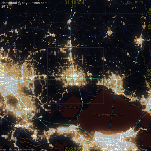
» Earth at Night: Flat Maps 2012, 2016