Grosse Ile night lights from space
Night Light of Grosse Ile (Michigan) from space (United States) Src. Average luminocity for 10x10km area is 51.153% and for 50x50km: 42.0183%.
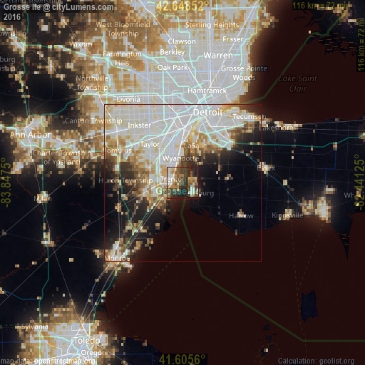
Analysis of Grosse Ile night lights 2016
Square area 10x10 km:
 5.3%
5.3%90-99
10.91%80-89
5%70-79
7.73%60-69
7.88%50-59
11.52%40-49
9.7%30-39
8.64%20-29
20.3%10-19
12.88%0-9
0.15%Square area 50x50 km:
13.85%90-99
12.09%80-89
4.2%70-79
3.88%60-69
3.51%50-59
3.37%40-49
3.22%30-39
3.27%20-29
6.24%10-19
9.11%0-9
37.25%Clear (daylight) street map image can be seen on geolist.org.
Map coordinates:
42° 38' 54.7" North, 83° 50' 51" West
42° 7' 45.2" North, 83° 8' 39.7" West
41° 36' 20.2" North, 82° 26' 28.5" West
Some cities around Grosse Ile sort by population:
• Southgate
10.3 km =6.4 mi,  336°
336°
• Wyandotte
9.5 km =5.9 mi,  357°
357°
• Trenton
3 km =1.9 mi,  292°
292°
• Amherstburg, CA
4.9 km =3 mi,  131°
131°
• Woodhaven
8.1 km =5 mi,  277°
277°
• Riverview
5.8 km =3.6 mi,  330°
330°
• Flat Rock
12.7 km =7.9 mi,  253°
253°
• Ecorse
12.8 km =8 mi, 359°
4994851 (p: 11,361)
Sources (retrieved 2019-11-25):
» Earth at Night: Flat Maps 2012, 2016