Finderne night lights from space
Night Light of Finderne (New Jersey) from space (United States) Src. Average luminocity for 10x10km area is 76.4188% and for 50x50km: 48.9244%.
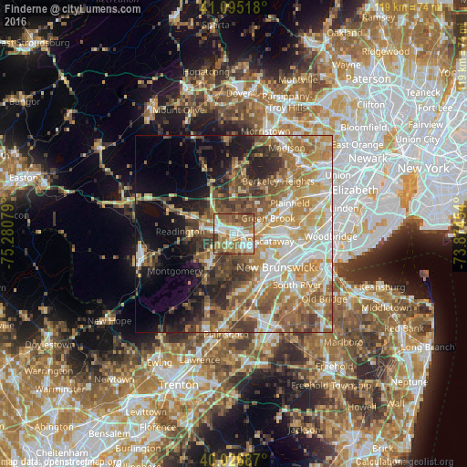
Analysis of Finderne night lights 2016
Square area 10x10 km:
 17.53%
90-99
19.16%80-89
6.66%70-79
13.47%60-69
18.99%50-59
18.02%40-49
4.06%30-39
2.11%20-29
0%10-19
0%0-9
0%Square area 50x50 km:
8.46%90-99
9.4%80-89
6.92%70-79
8.94%60-69
9.34%50-59
8.57%40-49
6.34%30-39
5.54%20-29
5.93%10-19
8.65%0-9
21.9%Clear (daylight) street map image can be seen on geolist.org.
Map coordinates:
41° 5' 42.6" North, 75° 16' 50.8" West
40° 33' 47.4" North, 74° 34' 39.6" West
40° 1' 36.7" North, 73° 52' 28.3" West
Some cities around Finderne sort by population:
• Warren Township
7.1 km =4.4 mi,  45°
45°
• Bradley Gardens
6.5 km =4 mi,  269°
269°
• Somerville
3 km =1.9 mi,  294°
294°
• Martinsville
4.5 km =2.8 mi,  20°
20°
• Bound Brook
3.4 km =2.1 mi,  79°
79°
• Manville
2.6 km =1.6 mi,  198°
198°
• Raritan
4.7 km =2.9 mi,  278°
278°
• Green Knoll
5 km =3.1 mi,  324°
324°
5097900 (p: 5,600)
Sources (retrieved 2019-11-25):
» Earth at Night: Flat Maps 2012, 2016